Transport Functions
Port
Road
Hub Profile
Place type
Populated place
Region
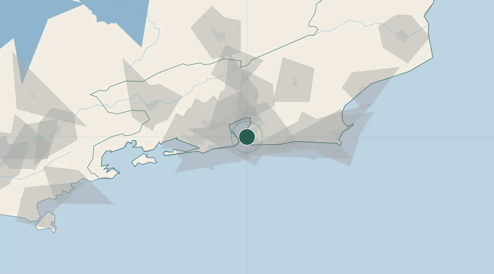
Rio de Janeiro
Population
456,456
Time zone
America/Sao_Paulo
Elevation
44 m
Location
Nearby Logistics Neighbours
Cities
- 1São Gonçalo9 km
- 2Rio de Janeiro22 km
- 3Maricá26 km
- 4Duque de Caxias26 km
- 5Mesquita38 km
Ports
- 1Rio De Janeiro10 km
- 2Porto Do Forno108 km
- 3Angra Dos Reis129 km
- 4Macae145 km
- 5Sao Sebastiao259 km
Airports
Trade Zones
- 1ZPE de Itaguaí (RJ)73 km
- 2ZPE do Açú (RJ)239 km
- 3ZPE de Aracruz (ES)469 km
- 4ZPE de Teófilo Otoni (MG)582 km
- 5ZPE de Uberaba (MG)620 km
DatabookThe Record of Consolidated Knowledge
Brazil beyond logistics?