UN/LOCODE hub · Brazil
BRRIO
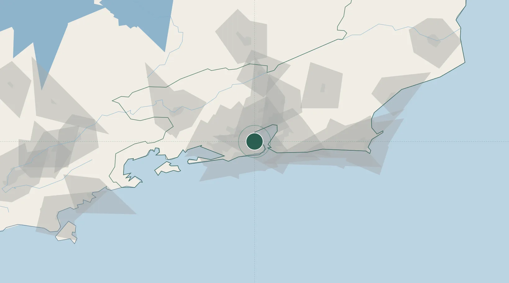
Rio de Janeiro
-22.8505°, -43.2741°
6,747,815
Population
7
Transport functions
2
Container terminals
Transport Functions
Port
Rail
Road
Airport
Multimodal
Postal
Fixed Transport
Hub Profile
Place type
Regional capital
Region
Rio de Janeiro
Population
6,747,815
Time zone
America/Sao_Paulo
Elevation
12 m
Logistics facilities
34
Container terminals
2
Location
Nearby Logistics Neighbours
Cities
- 1Duque de Caxias8 km
- 2Mesquita17 km
- 3Niterói22 km
- 4São Gonçalo27 km
- 5Itaguaí40 km
Ports
- 1Niteroi17 km
- 2Angra Dos Reis108 km
- 3Porto Do Forno129 km
- 4Macae164 km
- 5Sao Sebastiao241 km
Airports
Trade Zones
- 1ZPE de Itaguaí (RJ)52 km
- 2ZPE do Açú (RJ)256 km
- 3ZPE de Aracruz (ES)481 km
- 4ZPE de Teófilo Otoni (MG)585 km
- 5ZPE de Uberaba (MG)601 km
DatabookThe Record of Consolidated Knowledge
Brazil beyond logistics?