Seaport · Brazil
Rio GrandeBRRIG
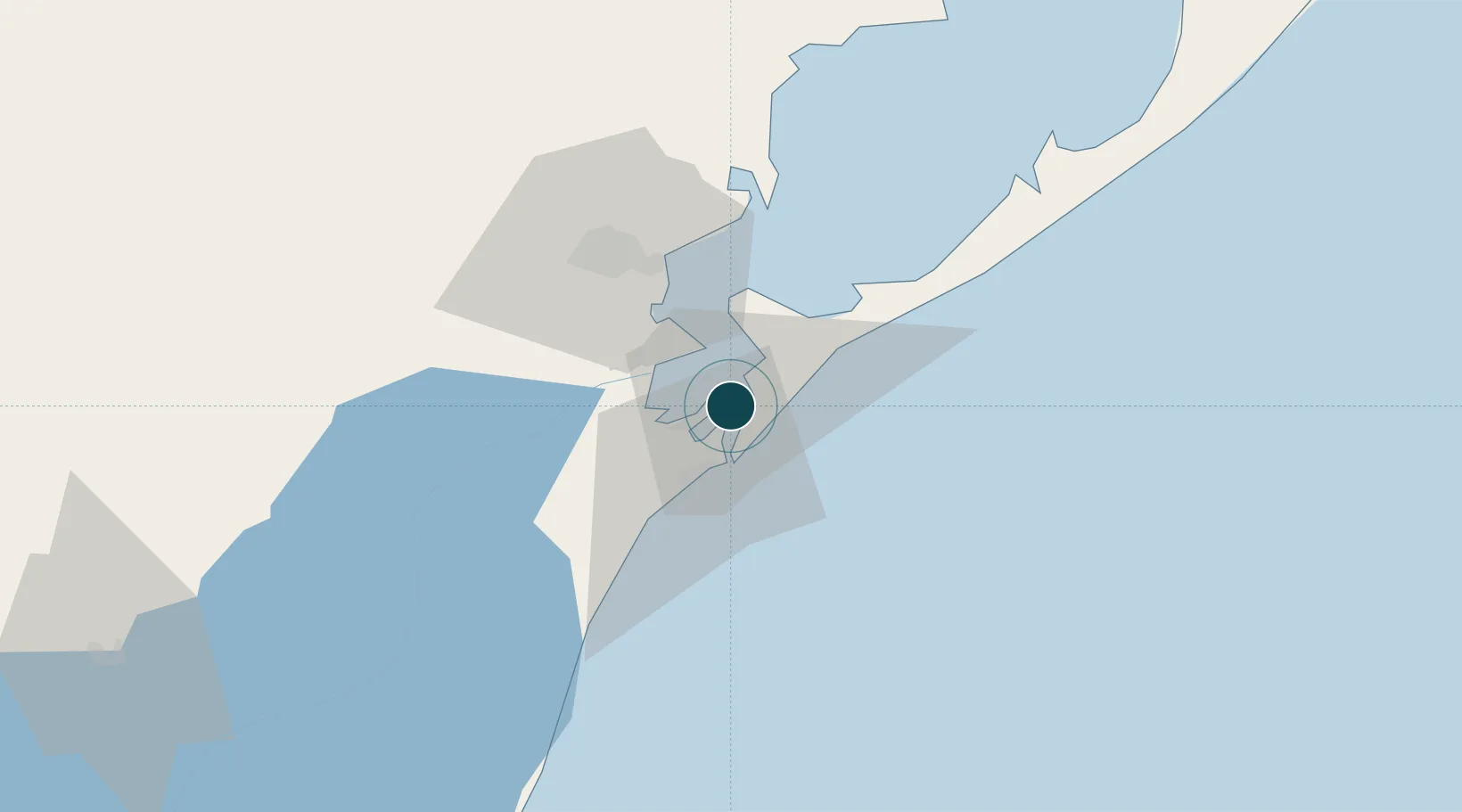
-32.0500°, -52.0833°
12.5 m
Channel depth
1
Container terminals
215.2
Port liner connectivity
Channel & Berth Profile
Pilotage, Tugs & Services
Pilotage compulsoryYES
Pilotage availableYES
Pilotage advisableYES
Tug assistanceYES
Potable waterYES
MedicalYES
Garbage disposalYES
Facilities & Capabilities
Container—
Ro-Ro—
Liquid bulk—
Dry bulk—
Oil terminal—
Break bulk—
Dry dock—
RepairsNO
BunkeringYES
Rail linkYES
Dangerous cargo—
ISPS security—
Harbour Specifications
Harbour size
Large
Harbour type
River (Natural)
Shelter
Good
Water body
South Atlantic Ocean
Pilotage
Yes
Liner Connectivity
215.2
PLSCI
Port Liner Shipping Connectivity Index for Rio Grande, as published by UNCTAD for the latest available quarter. Higher values indicate stronger scheduled liner-shipping integration.
Shown relative to the highest per-port PLSCI in the dataset (1,657.9).
Location
Container Terminals · 1
TECON RIO GRANDE
TECRG WILSON SONS TERMINALS
Nearby Logistics Neighbours
Ports
- 1Pelotas38 km
- 2Porto Alegre238 km
- 3Tramandai296 km
- 4La Paloma347 km
- 5Jose Ignacio404 km
Cities
- 1Pelotas41 km
- 2Jaguarão133 km
- 3Aceguá196 km
- 4Santa Vitória do Palmar203 km
- 5Arbolito214 km
Airports
Trade Zones
- 1ZPE de Rio Grande (RS)9 km
- 2Rivera Free Zone352 km
- 3Florida Free Zone449 km
- 4Parque Las Ciencias Free Zone476 km
- 5Parque de las Ciencias Free Zone477 km
DatabookThe Record of Consolidated Knowledge
Brazil beyond logistics?