Transport Functions
Road
Multimodal
Hub Profile
Place type
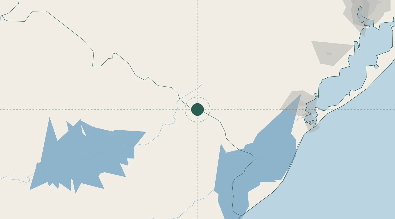
Populated place
Region
Rio Grande do Sul
Population
4,170
Time zone
America/Sao_Paulo
Elevation
257 m
Location
Nearby Logistics Neighbours
Cities
- 1Arbolito90 km
- 2Jaguarão107 km
- 3Sant'Ana do Livramento170 km
- 4Pelotas170 km
- 5Rio Grande194 km
Ports
- 1Pelotas172 km
- 2Rio Grande196 km
- 3La Paloma311 km
- 4Porto Alegre344 km
- 5Jose Ignacio349 km
Airports
Trade Zones
- 1Rivera Free Zone167 km
- 2ZPE de Rio Grande (RS)189 km
- 3Florida Free Zone318 km
- 4Parque Las Ciencias Free Zone372 km
- 5Parque de las Ciencias Free Zone372 km
DatabookThe Record of Consolidated Knowledge
Brazil beyond logistics?