UN/LOCODE hub · Uruguay
UYABT

Arbolito

-32.6500°, -54.2500°
1
Transport functions

Transport Functions

Multimodal
UN/LOCODE

Hub Profile

Place type
Populated place
GeoNames
Region
Cerro Largo
GeoNames
Time zone
America/Montevideo
GeoNames
Elevation
163 m
GeoNames

Location

Location of UYABT
Natural Earth 10m (public domain) · Cerro Largo · UYABT · -32.65, -54.25GoogleOSMYandex

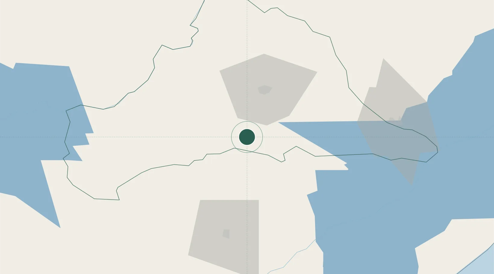
Nearby Logistics Neighbours

Cities
  1. 1Jaguarão84 km
  2. 2Aceguá90 km
  3. 3Santa Vitória do Palmar127 km
  4. 4Chuí137 km
  5. 5Pelotas204 km
Nearest neighbours — logibook spatial index (haversine) over the source coordinates
Ports
  1. 1Pelotas204 km
  2. 2Rio Grande214 km
  3. 3La Paloma223 km
  4. 4Jose Ignacio259 km
  5. 5Montevideo309 km
Nearest neighbours — logibook spatial index (haversine) over the source coordinates
Trade Zones
  1. 1ZPE de Rio Grande (RS)205 km
  2. 2Rivera Free Zone226 km
  3. 3Florida Free Zone246 km
  4. 4Parque Las Ciencias Free Zone290 km
  5. 5Parque de las Ciencias Free Zone291 km
Nearest neighbours — logibook spatial index (haversine) over the source coordinates
DatabookThe Record of Consolidated Knowledge
Uruguay beyond logistics?
Browse databook

All Sources

LocationsUN/LOCODE
UN/LOCODE — free
Portsthe NGA World Port Index
Public domain (US gov)
AirportsOurAirports
Public domain
Trade Zonesthe World Bank SEZ database
CC BY 4.0
Trade ZonesOpen Zone Map
CC BY
← Uruguay locations