Channel & Berth Profile
Pilotage, Tugs & Services
Pilotage compulsoryYES
Pilotage availableYES
Pilotage advisableYES
Facilities & Capabilities
Container—
Ro-Ro—
Liquid bulk—
Dry bulk—
Oil terminal—
Break bulk—
Dry dock—
Repairs—
Bunkering—
Rail link—
Dangerous cargo—
ISPS security—
Harbour Specifications
Harbour size
Very Small
Harbour type
Open Roadstead
Shelter
Poor
Water body
South Atlantic Ocean
Tidal range
1 m
Pilotage
Yes
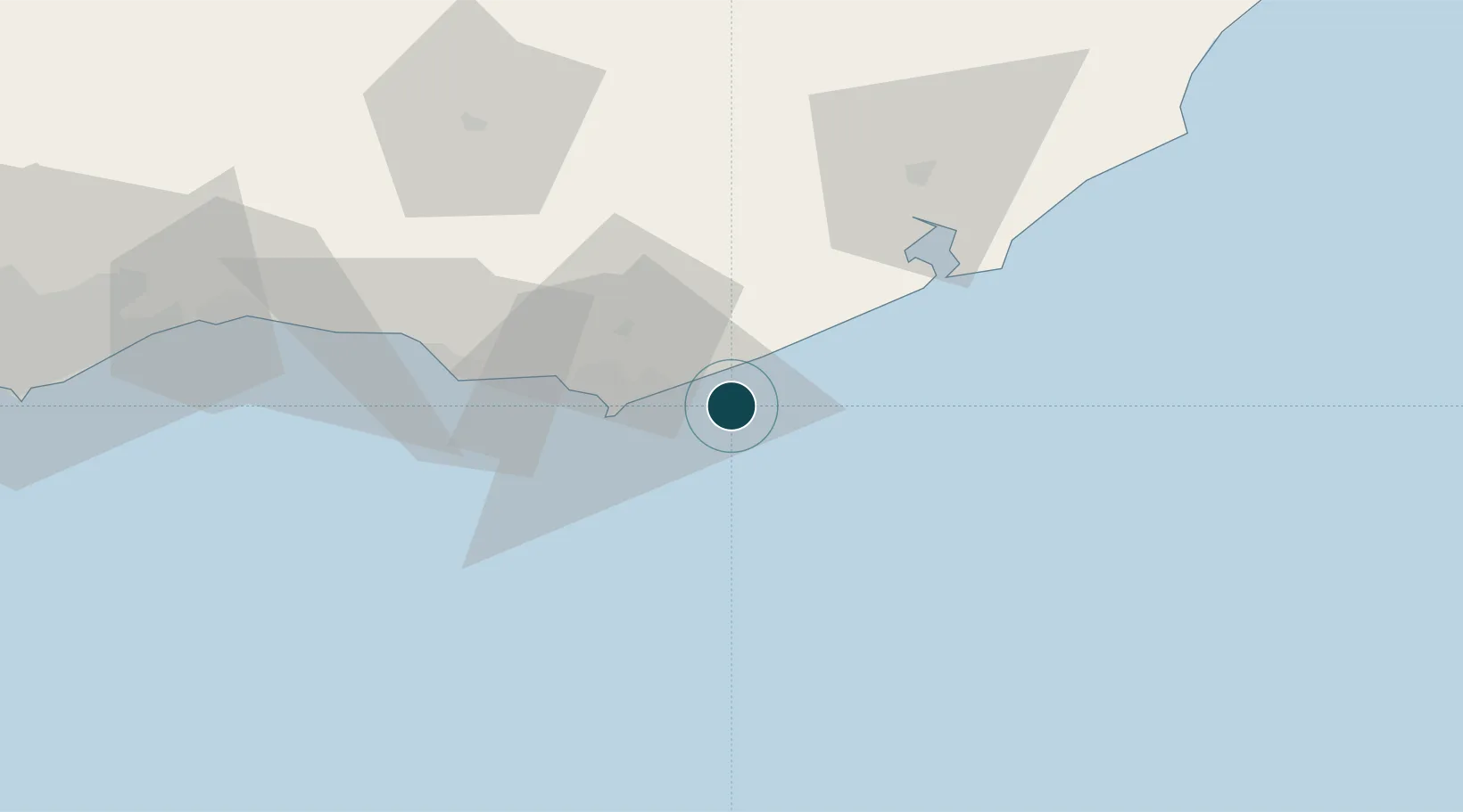
Location
Nearby Logistics Neighbours
Ports
- 1La Paloma60 km
- 2Montevideo138 km
- 3Puerto Sauce258 km
- 4La Plata291 km
- 5Colonia293 km
Cities
- 1Piriápolis53 km
- 2Montevideo141 km
- 3Joanico147 km
- 4Chuí182 km
- 5Santa Vitória do Palmar201 km
Airports
Trade Zones
- 1Parque Las Ciencias Free Zone120 km
- 2Parque de las Ciencias Free Zone121 km
- 3Zonamerica Free Zone126 km
- 4World Trade Center Free Zone131 km
- 5Aguada Park Free Zone136 km
DatabookThe Record of Consolidated Knowledge
Uruguay beyond logistics?