UN/LOCODE hub · Brazil
BRPET

Pelotas

-31.7577°, -52.3532°
320,674
Population
3
Transport functions

Transport Functions

Port
Road
Airport
Pelotas is also a profiled seaport →
UN/LOCODE

Hub Profile

Place type
Populated place
GeoNames
Region
Rio Grande do Sul
GeoNames
Population
320,674
GeoNames
Time zone
America/Sao_Paulo
GeoNames
Elevation
15 m
GeoNames
Logistics facilities
2
UN/LOCODE

Location

Location of BRPET
Natural Earth 10m (public domain) · Rio Grande do Sul · BRPET · -31.76, -52.35GoogleOSMYandex

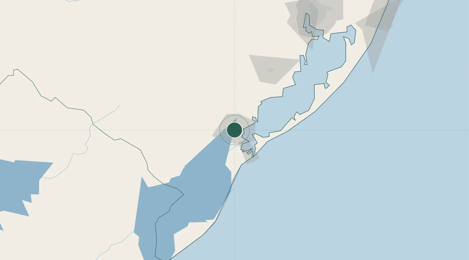
Nearby Logistics Neighbours

Cities
  1. 1Rio Grande46 km
  2. 2Jaguarão130 km
  3. 3Aceguá170 km
  4. 4Rio Pardo197 km
  5. 5Cachoeira do Sul198 km
Nearest neighbours — logibook spatial index (haversine) over the source coordinates
Ports
  1. 1Rio Grande41 km
  2. 2Porto Alegre220 km
  3. 3Tramandai290 km
  4. 4La Paloma362 km
  5. 5Jose Ignacio417 km
Nearest neighbours — logibook spatial index (haversine) over the source coordinates
Airports
  1. 1João Simões Lopes Neto International Airport5 km
  2. 2Comandante Gustavo Kraemer Airport172 km
  3. 3Porto Alegre-Salgado Filho International Airport226 km
  4. 4Canoas Air Force Base232 km
  5. 5Santa Maria Airport261 km
Nearest neighbours — logibook spatial index (haversine) over the source coordinates
Trade Zones
  1. 1ZPE de Rio Grande (RS)41 km
  2. 2Rivera Free Zone317 km
  3. 3Florida Free Zone447 km
  4. 4Parque Las Ciencias Free Zone480 km
  5. 5Parque de las Ciencias Free Zone481 km
Nearest neighbours — logibook spatial index (haversine) over the source coordinates
DatabookThe Record of Consolidated Knowledge
Brazil beyond logistics?
Browse databook

All Sources

LocationsUN/LOCODE
UN/LOCODE — free
LocationsGeoNames
CC BY 4.0
Portsthe NGA World Port Index
Public domain (US gov)
AirportsOurAirports
Public domain
Trade Zonesthe World Bank SEZ database
CC BY 4.0
Trade ZonesOpen Zone Map
CC BY
← Brazil locations