Medium airport · Brazil

Canoas Air Force BaseSBCO
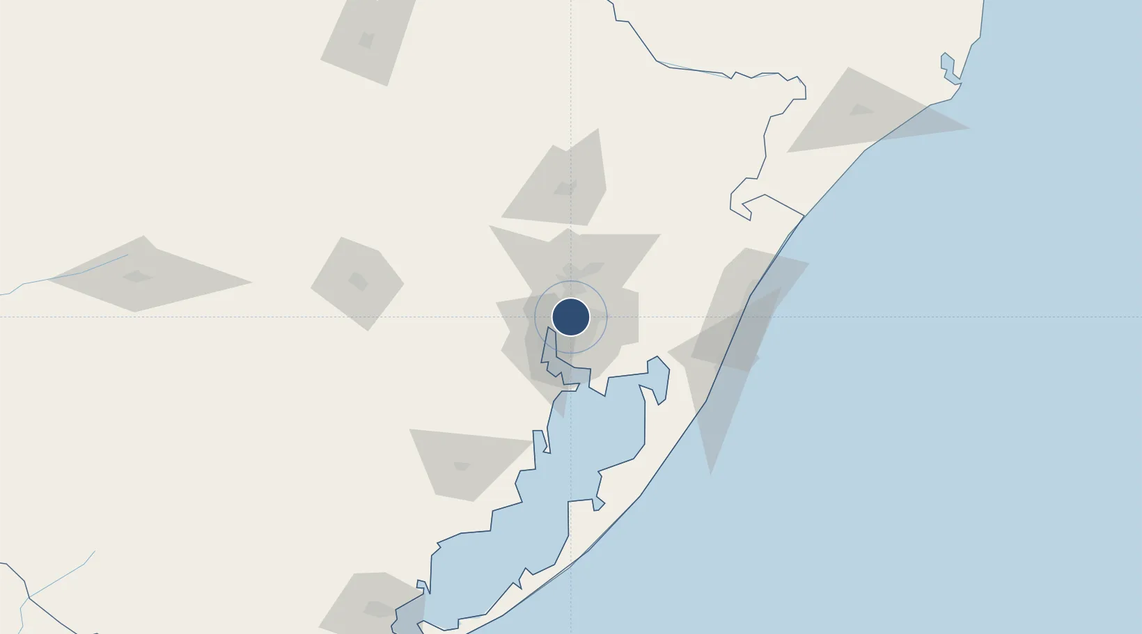
-29.9459°, -51.1444°
9,026 ft
Longest runway
1
Runways
26 ft
Elevation

Runway & Layout

Canoas Air Force Base runway & taxiway layout
Runway & taxiway layout — OpenStreetMap (ODbL) / OurAirports

Radio Frequencies

ATIS
127.85 MHz
TWR
118.5 MHz
GND
121.7 MHz
APP
119 MHz
PALEGRE APP
OPS
122.5 MHz
OurAirports

Navaids

COA VOR-DME Canoas 113.60 MHz
OAS NDB Canoas 250 kHz
OurAirports

Runways · 1

RunwayDimensions SurfaceTrue headingLit
13/31 9,026 × 148ft Asphalt
OurAirports

Airport Specifications

IATA code
QNS
OurAirports
ICAO code
SBCO
OurAirports
Airport class
Medium airport
OurAirports
Scheduled service
No
OurAirports
Runway surface
Asphalt
OurAirports
Served city
Porto Alegre
OurAirports

Location

Location of SBCO
Natural Earth 10m (public domain) · Rio Grande do Sul · SBCO · -29.95, -51.14GoogleOSMYandex

Nearby Logistics Neighbours

Airports
  1. 1Porto Alegre-Salgado Filho International Airport6 km
  2. 2Canela Airport71 km
  3. 3Hugo Cantergiani Regional Airport83 km
  4. 4Forquilhinha - Criciúma Airport215 km
  5. 5Lauro Kurtz Airport221 km
Nearest neighbours — logibook spatial index (haversine) over the source coordinates
Cities
  1. 1Canoas4 km
  2. 2Porto Alegre11 km
  3. 3Esteio11 km
  4. 4Guaíba23 km
  5. 5Novo Hamburgo29 km
Nearest neighbours — logibook spatial index (haversine) over the source coordinates
Ports
  1. 1Porto Alegre13 km
  2. 2Tramandai98 km
  3. 3Pelotas234 km
  4. 4Rio Grande251 km
  5. 5Laguna280 km
Nearest neighbours — logibook spatial index (haversine) over the source coordinates
Trade Zones
  1. 1ZPE de Rio Grande (RS)257 km
  2. 2ZPE de Imbituba (SC)362 km
  3. 3Rivera Free Zone437 km
  4. 4Zona Franca Puerto Iguazu Free Trade Zone589 km
  5. 5Zona Franca Internacional607 km
Nearest neighbours — logibook spatial index (haversine) over the source coordinates
DatabookThe Record of Consolidated Knowledge
Brazil beyond logistics?
Browse databook

All Sources

AirportsOurAirports
Public domain
Portsthe NGA World Port Index
Public domain (US gov)
LocationsUN/LOCODE
UN/LOCODE — free
Trade Zonesthe World Bank SEZ database
CC BY 4.0
Trade ZonesOpen Zone Map
CC BY
InfrastructureOpenStreetMap
ODbL 1.0
← Brazil airports