Large airport · Brazil

Porto Alegre-Salgado Filho International AirportSBPA
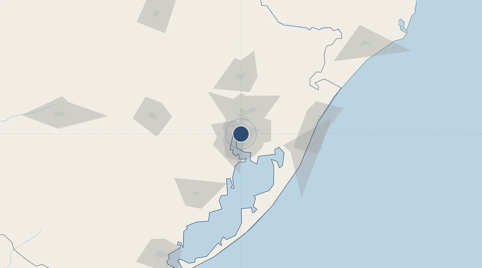
-29.9940°, -51.1675°
10,499 ft
Longest runway
1
Runways
11 ft
Elevation

Runway & Layout

Porto Alegre-Salgado Filho International Airport runway & taxiway layout
Runway & taxiway layout — OpenStreetMap (ODbL) / OurAirports

Radio Frequencies

ATIS
127.85 MHz
TWR
118.1 MHz
PALEGRE TWR
GND
121.9 MHz
APP
119 MHz
PALEGRE APP
OurAirports

Navaids

IA NDB Pestana 395 kHz
IP NDB Guaiba 345 kHz
PA NDB Salgado 315 kHz
PAG NDB Porto Alegre 330 kHz
POR VOR-DME Porto Alegre 114.00 MHz
OurAirports

Runways · 1

RunwayDimensions SurfaceTrue headingLit
11/29 10,499 × 148ft Asphalt 091°
OurAirports

Airport Specifications

IATA code
POA
OurAirports
ICAO code
SBPA
OurAirports
Airport class
Large airport
OurAirports
Scheduled service
Yes
OurAirports
Runway surface
Asphalt
OurAirports
Served city
Porto Alegre
OurAirports

Location

Location of SBPA
Natural Earth 10m (public domain) · Rio Grande do Sul · SBPA · -29.99, -51.17GoogleOSMYandex

Nearby Logistics Neighbours

Airports
  1. 1Canoas Air Force Base6 km
  2. 2Canela Airport77 km
  3. 3Hugo Cantergiani Regional Airport89 km
  4. 4Forquilhinha - Criciúma Airport220 km
  5. 5João Simões Lopes Neto International Airport221 km
Nearest neighbours — logibook spatial index (haversine) over the source coordinates
Cities
  1. 1Porto Alegre5 km
  2. 2Canoas9 km
  3. 3Esteio16 km
  4. 4Guaíba17 km
  5. 5Novo Hamburgo35 km
Nearest neighbours — logibook spatial index (haversine) over the source coordinates
Ports
  1. 1Porto Alegre8 km
  2. 2Tramandai100 km
  3. 3Pelotas228 km
  4. 4Rio Grande245 km
  5. 5Laguna285 km
Nearest neighbours — logibook spatial index (haversine) over the source coordinates
Trade Zones
  1. 1ZPE de Rio Grande (RS)252 km
  2. 2ZPE de Imbituba (SC)367 km
  3. 3Rivera Free Zone434 km
  4. 4Zona Franca Puerto Iguazu Free Trade Zone592 km
  5. 5Zona Franca Internacional610 km
Nearest neighbours — logibook spatial index (haversine) over the source coordinates
DatabookThe Record of Consolidated Knowledge
Brazil beyond logistics?
Browse databook

All Sources

AirportsOurAirports
Public domain
Portsthe NGA World Port Index
Public domain (US gov)
LocationsUN/LOCODE
UN/LOCODE — free
Trade Zonesthe World Bank SEZ database
CC BY 4.0
Trade ZonesOpen Zone Map
CC BY
InfrastructureOpenStreetMap
ODbL 1.0
← Brazil airports