Medium airport · Brazil

Santa Maria AirportSBSM
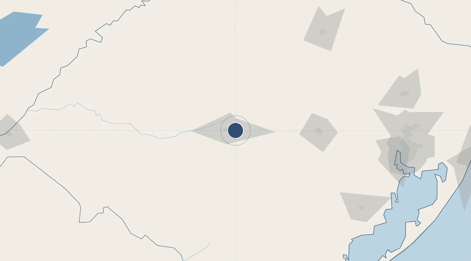
-29.7114°, -53.6882°
8,839 ft
Longest runway
2
Runways
287 ft
Elevation

Runway & Layout

Santa Maria Airport runway & taxiway layout
Runway & taxiway layout — OpenStreetMap (ODbL) / OurAirports

Radio Frequencies

TWR
118.3 MHz
APP
119.35 MHz
OurAirports

Navaids

SMA VOR-DME Santa Maria 112.00 MHz
SMA NDB Santa Maria 365 kHz
SMR NDB Cerrito 210 kHz
OurAirports

Runways · 2

RunwayDimensions SurfaceTrue headingLit
11/29 8,839 × 148ft Concrete
02/20 4,638 × 98ft Asphalt
OurAirports

Airport Specifications

IATA code
RIA
OurAirports
ICAO code
SBSM
OurAirports
Airport class
Medium airport
OurAirports
Scheduled service
Yes
OurAirports
Runway surface
Concrete
OurAirports
Served city
Santa Maria
OurAirports

Location

Location of SBSM
Natural Earth 10m (public domain) · Rio Grande do Sul · SBSM · -29.71, -53.69GoogleOSMYandex

Nearby Logistics Neighbours

Airports
  1. 1Santo Ângelo Airport166 km
  2. 2Comandante Gustavo Kraemer Airport191 km
  3. 3Lauro Kurtz Airport210 km
  4. 4Luis Alberto Lehr Airport217 km
  5. 5Pres. Gral. Óscar D. Gestido Binational Airport222 km
Nearest neighbours — logibook spatial index (haversine) over the source coordinates
Cities
  1. 1Santa Maria11 km
  2. 2Júlio de Castilhos55 km
  3. 3Tupanciretã73 km
  4. 4Cachoeira do Sul86 km
  5. 5Cacequi110 km
Nearest neighbours — logibook spatial index (haversine) over the source coordinates
Ports
  1. 1Porto Alegre239 km
  2. 2Pelotas264 km
  3. 3Rio Grande302 km
  4. 4Tramandai344 km
  5. 5Concordia456 km
Nearest neighbours — logibook spatial index (haversine) over the source coordinates
Trade Zones
  1. 1Rivera Free Zone226 km
  2. 2ZPE de Rio Grande (RS)301 km
  3. 3Zona Franca Puerto Iguazu Free Trade Zone465 km
  4. 4Zona Franca Internacional480 km
  5. 5Zona Franca Global480 km
Nearest neighbours — logibook spatial index (haversine) over the source coordinates
DatabookThe Record of Consolidated Knowledge
Brazil beyond logistics?
Browse databook

All Sources

AirportsOurAirports
Public domain
Portsthe NGA World Port Index
Public domain (US gov)
LocationsUN/LOCODE
UN/LOCODE — free
Trade Zonesthe World Bank SEZ database
CC BY 4.0
Trade ZonesOpen Zone Map
CC BY
InfrastructureOpenStreetMap
ODbL 1.0
← Brazil airports