Medium airport · Brazil
João Simões Lopes Neto International AirportSBPK
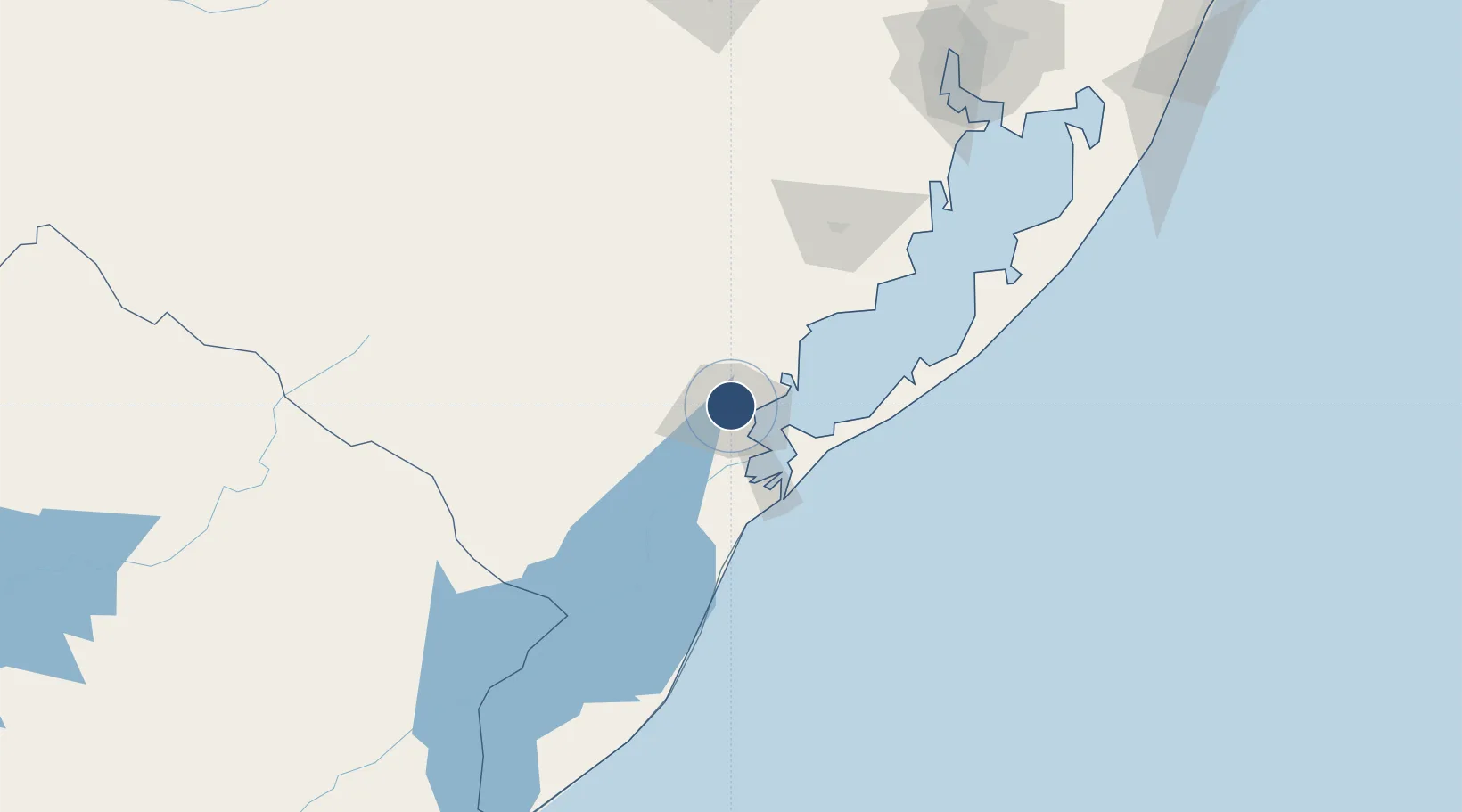
-31.7172°, -52.3278°
6,496 ft
Longest runway
1
Runways
59 ft
Elevation
Runway & Layout

Radio Frequencies
AFIS
125.9 MHz
RDO
Navaids
PTS VOR Pelotas 113.30 MHz
PTS NDB Pelotas 340 kHz
Runways · 1
| Runway | Dimensions | Surface | True heading | Lit |
|---|---|---|---|---|
| 07/25 | 6,496 × 138ft | Concrete | 051° | ✓ |
Airport Specifications
IATA code
PET
ICAO code
SBPK
Airport class
Medium airport
Scheduled service
Yes
Runway surface
Concrete
Served city
Pelotas
Location
Nearby Logistics Neighbours
Airports
- 1Comandante Gustavo Kraemer Airport173 km
- 2Porto Alegre-Salgado Filho International Airport221 km
- 3Canoas Air Force Base227 km
- 4Santa Maria Airport258 km
- 5Canela Airport298 km
Cities
- 1Pelotas5 km
- 2Rio Grande49 km
- 3Jaguarão135 km
- 4Aceguá173 km
- 5Rio Pardo193 km
Ports
- 1Pelotas7 km
- 2Rio Grande44 km
- 3Porto Alegre214 km
- 4Tramandai285 km
- 5La Paloma368 km
Trade Zones
- 1ZPE de Rio Grande (RS)44 km
- 2Rivera Free Zone318 km
- 3Florida Free Zone451 km
- 4Parque Las Ciencias Free Zone485 km
- 5Parque de las Ciencias Free Zone486 km
DatabookThe Record of Consolidated Knowledge
Brazil beyond logistics?