UN/LOCODE hub · Brazil
BRSVP
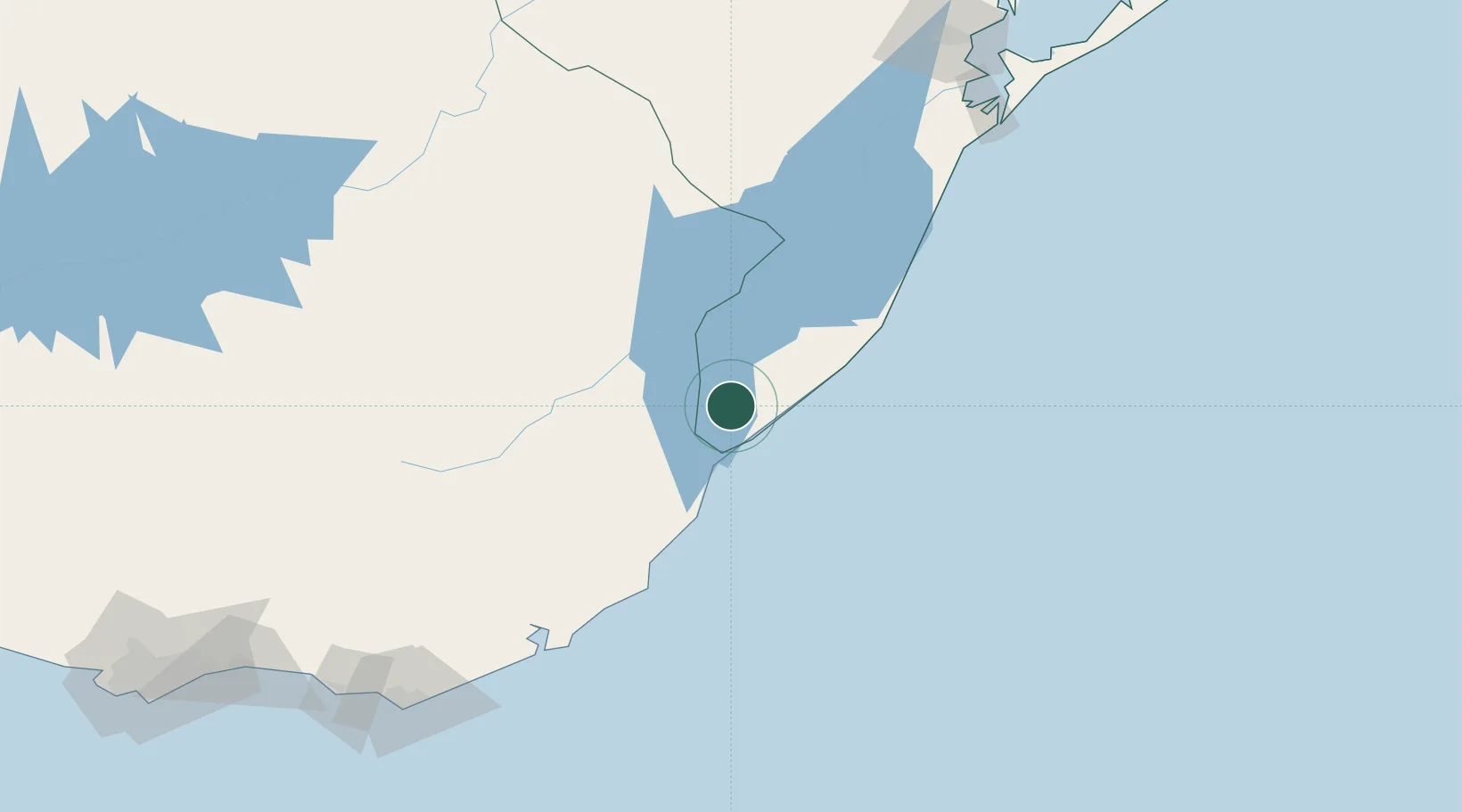
Santa Vitória do Palmar
-33.5167°, -53.3667°
30,983
Population
2
Transport functions
Transport Functions
Port
Road
Hub Profile
Place type
Populated place
Region
Rio Grande do Sul
Population
30,983
Time zone
America/Sao_Paulo
Elevation
22 m
Location
Nearby Logistics Neighbours
Cities
- 1Chuí20 km
- 2Jaguarão108 km
- 3Arbolito127 km
- 4Rio Grande193 km
- 5Aceguá199 km
Ports
- 1La Paloma145 km
- 2Jose Ignacio201 km
- 3Rio Grande203 km
- 4Pelotas216 km
- 5Montevideo304 km
Airports
Trade Zones
- 1ZPE de Rio Grande (RS)194 km
- 2Florida Free Zone273 km
- 3Parque Las Ciencias Free Zone282 km
- 4Parque de las Ciencias Free Zone283 km
- 5Zonamerica Free Zone286 km
DatabookThe Record of Consolidated Knowledge
Brazil beyond logistics?