Medium airport · Brazil
Comandante Gustavo Kraemer AirportSBBG
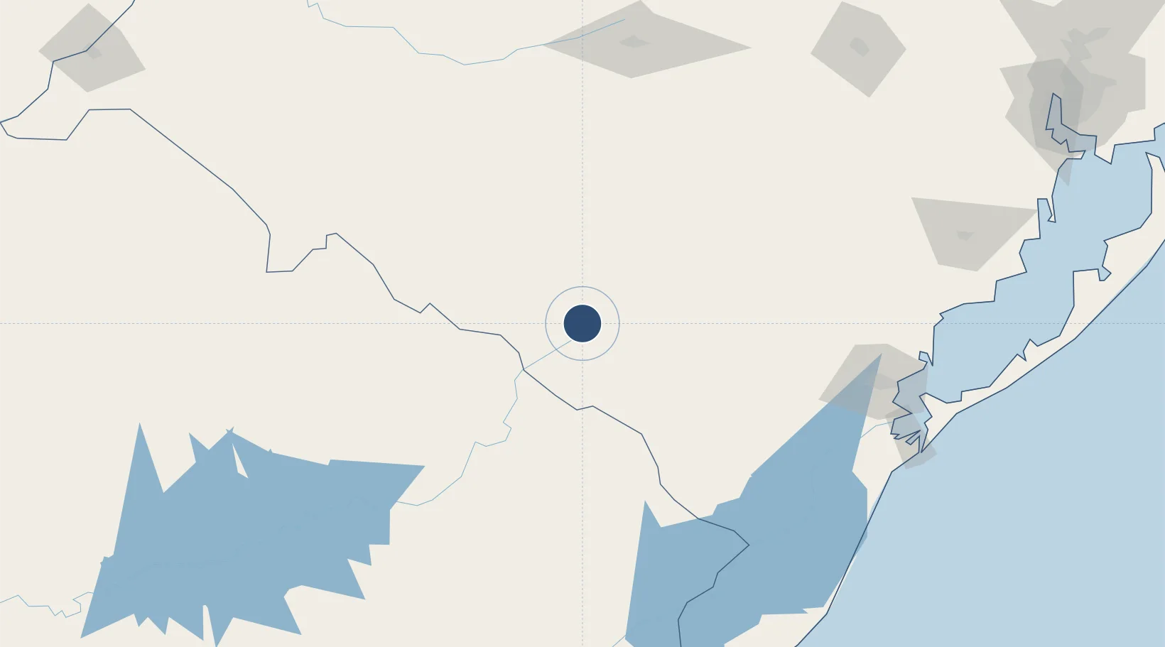
-31.3905°, -54.1122°
4,921 ft
Longest runway
2
Runways
600 ft
Elevation
Runway & Layout

Radio Frequencies
AFIS
125.85 MHz
BAGE RDO
Navaids
BGE VOR Bage 115.30 MHz
BGE NDB Bage 235 kHz
Runways · 2
| Runway | Dimensions | Surface | True heading | Lit |
|---|---|---|---|---|
| 6/24 | 4,921 × 98ft | Concrete | 046° | ✓ |
| 14/32 | 3,770 × 148ft | Grass | — | — |
Airport Specifications
IATA code
BGX
ICAO code
SBBG
Airport class
Medium airport
Scheduled service
No
Runway surface
Concrete
Served city
Bagé
Location
Nearby Logistics Neighbours
Airports
Cities
- 1Aceguá51 km
- 2Arbolito141 km
- 3Sant'Ana do Livramento147 km
- 4Jaguarão147 km
- 5Pelotas172 km
Ports
- 1Pelotas174 km
- 2Rio Grande205 km
- 3Porto Alegre314 km
- 4La Paloma363 km
- 5Concordia372 km
Trade Zones
- 1Rivera Free Zone146 km
- 2ZPE de Rio Grande (RS)199 km
- 3Florida Free Zone362 km
- 4Parque Las Ciencias Free Zone419 km
- 5Zonamerica Free Zone420 km
DatabookThe Record of Consolidated Knowledge
Brazil beyond logistics?