Channel & Berth Profile
Pilotage, Tugs & Services
Pilotage compulsoryYES
Pilotage availableYES
Potable waterYES
Facilities & Capabilities
Container—
Ro-Ro—
Liquid bulk—
Dry bulk—
Oil terminal—
Break bulk—
Dry dock—
Repairs—
Bunkering—
Rail linkYES
Dangerous cargo—
ISPS security—
Harbour Specifications
Harbour size
Very Small
Harbour type
Coastal (Natural)
Shelter
Good
Water body
South Atlantic Ocean
Pilotage
Yes
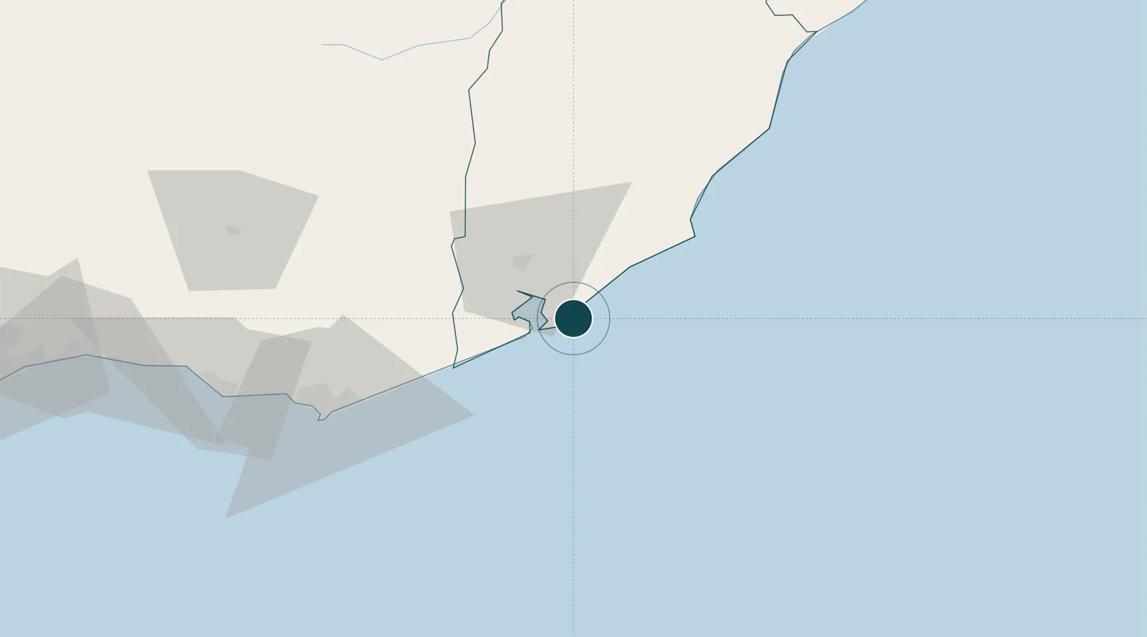
Location
Nearby Logistics Neighbours
Ports
- 1Jose Ignacio60 km
- 2Montevideo191 km
- 3Puerto Sauce303 km
- 4Colonia339 km
- 5La Plata342 km
Cities
- 1Piriápolis105 km
- 2Chuí125 km
- 3Santa Vitória do Palmar145 km
- 4Joanico192 km
- 5Montevideo192 km
Airports
Trade Zones
- 1Parque Las Ciencias Free Zone170 km
- 2Parque de las Ciencias Free Zone171 km
- 3Zonamerica Free Zone176 km
- 4World Trade Center Free Zone183 km
- 5Aguada Park Free Zone189 km
DatabookThe Record of Consolidated Knowledge
Uruguay beyond logistics?