Transport Functions
Port
Road
Multimodal
Hub Profile
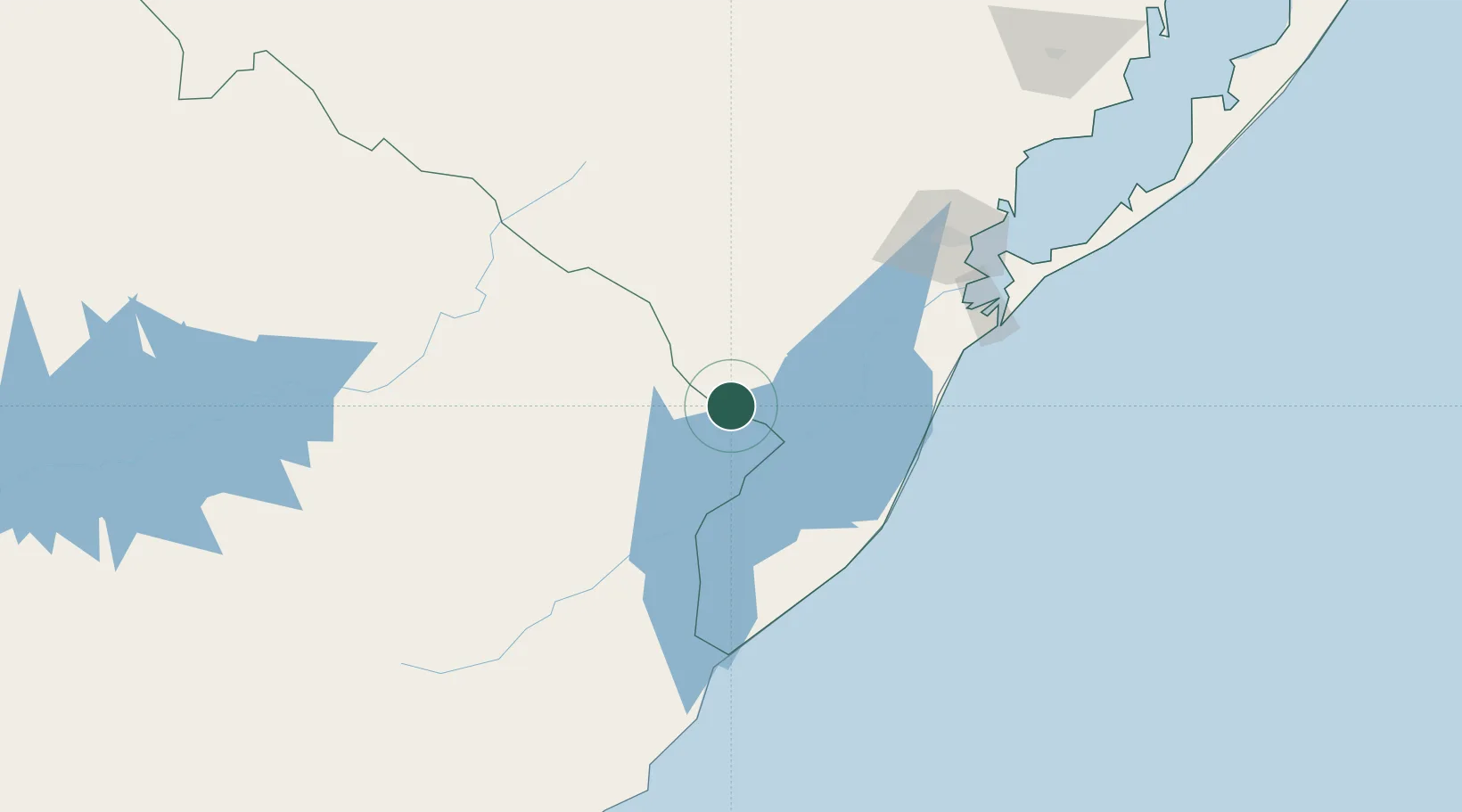
Place type
Populated place
Region
Rio Grande do Sul
Population
26,603
Time zone
America/Sao_Paulo
Elevation
19 m
Location
Nearby Logistics Neighbours
Cities
- 1Arbolito84 km
- 2Aceguá107 km
- 3Santa Vitória do Palmar108 km
- 4Rio Grande126 km
- 5Chuí126 km
Ports
- 1Pelotas129 km
- 2Rio Grande133 km
- 3La Paloma245 km
- 4Jose Ignacio294 km
- 5Porto Alegre346 km
Airports
Trade Zones
- 1ZPE de Rio Grande (RS)124 km
- 2Rivera Free Zone274 km
- 3Florida Free Zone318 km
- 4Parque Las Ciencias Free Zone350 km
- 5Parque de las Ciencias Free Zone351 km
DatabookThe Record of Consolidated Knowledge
Brazil beyond logistics?