UN/LOCODE hub · Brazil
BRRIG
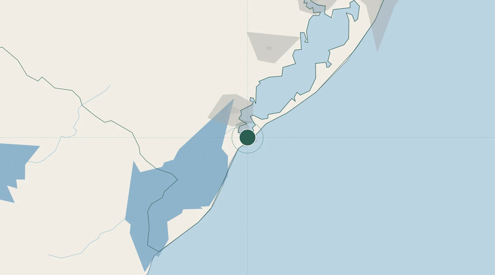
Rio Grande
-32.1257°, -52.1240°
187,838
Population
5
Transport functions
1
Container terminals
Transport Functions
Port
Rail
Road
Airport
Multimodal
Hub Profile
Place type
Populated place
Region
Rio Grande do Sul
Population
187,838
Time zone
America/Sao_Paulo
Elevation
7 m
Logistics facilities
12
Container terminals
1
Location
Nearby Logistics Neighbours
Cities
- 1Pelotas46 km
- 2Jaguarão126 km
- 3Santa Vitória do Palmar193 km
- 4Aceguá194 km
- 5Arbolito208 km
Ports
- 1Pelotas43 km
- 2Porto Alegre248 km
- 3Tramandai305 km
- 4La Paloma338 km
- 5Jose Ignacio395 km
Airports
Trade Zones
- 1ZPE de Rio Grande (RS)6 km
- 2Rivera Free Zone351 km
- 3Florida Free Zone442 km
- 4Parque Las Ciencias Free Zone468 km
- 5Parque de las Ciencias Free Zone468 km
DatabookThe Record of Consolidated Knowledge
Brazil beyond logistics?