Transport Functions
Port
Road
Hub Profile
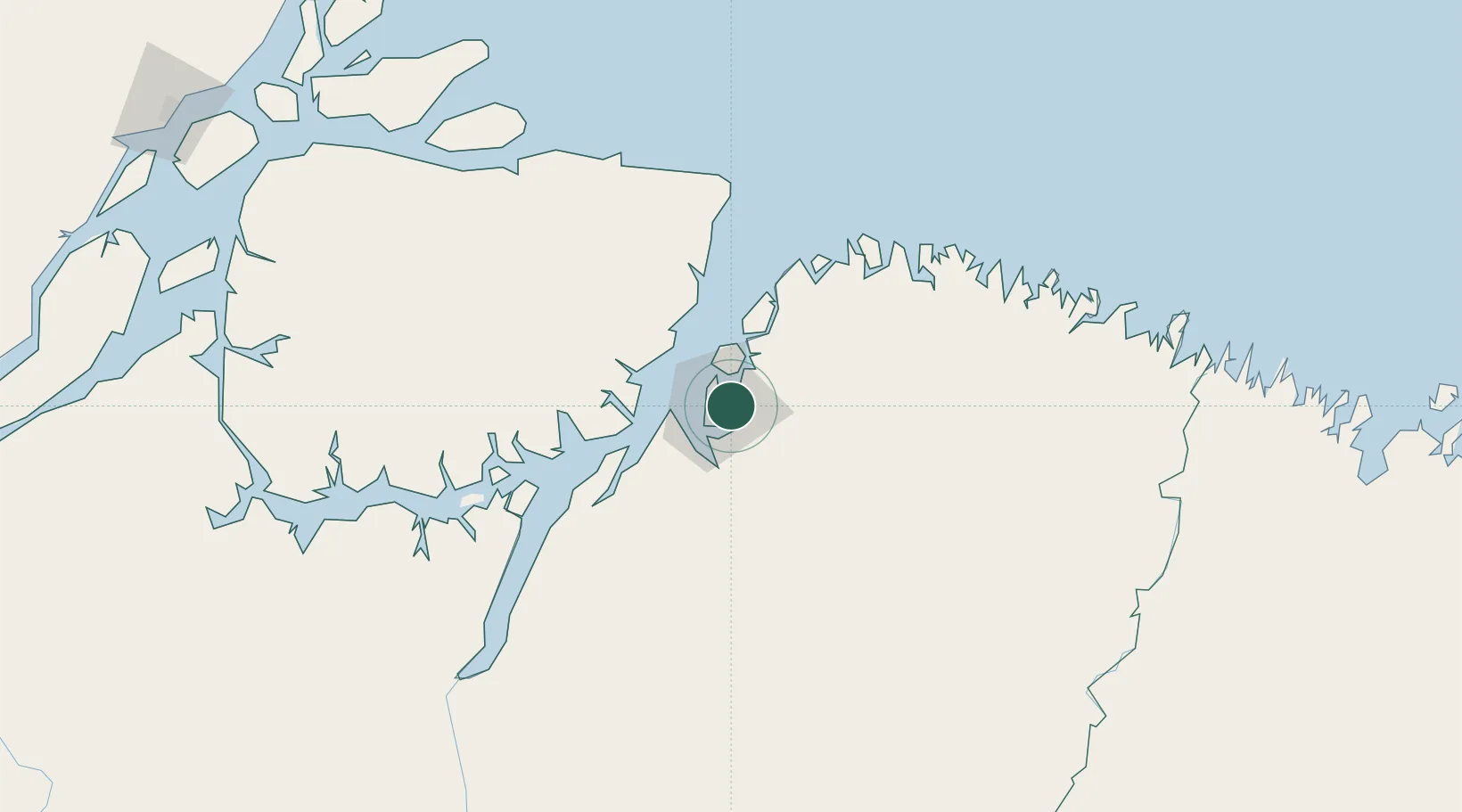
Place type
Populated place
Region
Pará
Population
433,956
Time zone
America/Belem
Elevation
19 m
Location
Nearby Logistics Neighbours
Cities
- 1Belém13 km
- 2Benevides15 km
- 3Vila do Conde Pt / Barcarena47 km
- 4Acará68 km
- 5Salvaterra70 km
Ports
- 1Belem18 km
- 2Vila Do Conde47 km
- 3Cameta160 km
- 4Porto Santana346 km
- 5Itaqui464 km
Airports
- 1Val de Cans/Júlio Cezar Ribeiro International Airport12 km
- 2Salinópolis Airport137 km
- 3Nagib Demachki Airport218 km
- 4Breves Airport233 km
- 5Tucuruí Airport308 km
Trade Zones
- 1ZPE de Barcarena (PA)34 km
- 2ZPE de São Luís468 km
- 3ZPE de Araguaína (TO)646 km
- 4ZPE de Parnaíba (PI)754 km
- 5ZPE de Pecém (CE) ( Port of Pecém)1086 km
DatabookThe Record of Consolidated Knowledge
Brazil beyond logistics?