Transport Functions
Port
Road
Hub Profile
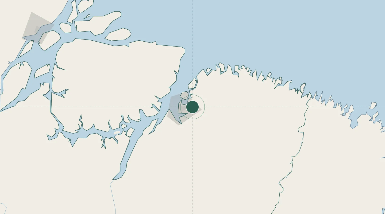
Place type
Populated place
Region
Pará
Population
63,567
Time zone
America/Belem
Elevation
31 m
Location
Nearby Logistics Neighbours
Cities
- 1Ananindeua15 km
- 2Belém27 km
- 3Vila do Conde Pt / Barcarena62 km
- 4Acará67 km
- 5Salvaterra73 km
Ports
- 1Belem32 km
- 2Vila Do Conde62 km
- 3Cameta173 km
- 4Porto Santana358 km
- 5Itaqui451 km
Airports
- 1Val de Cans/Júlio Cezar Ribeiro International Airport27 km
- 2Salinópolis Airport123 km
- 3Nagib Demachki Airport212 km
- 4Breves Airport248 km
- 5Tucuruí Airport317 km
Trade Zones
- 1ZPE de Barcarena (PA)48 km
- 2ZPE de São Luís454 km
- 3ZPE de Araguaína (TO)648 km
- 4ZPE de Parnaíba (PI)740 km
- 5ZPE de Pecém (CE) ( Port of Pecém)1072 km
DatabookThe Record of Consolidated Knowledge
Brazil beyond logistics?