Transport Functions
Port
Road
Airport
Multimodal
Hub Profile
Place type
Regional capital
Region
Pará
Population
1,499,641
Time zone
America/Belem
Elevation
15 m
Logistics facilities
3
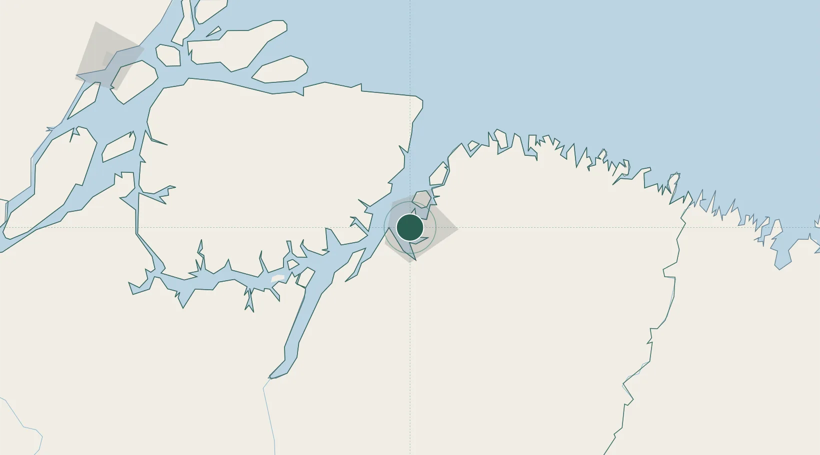
Location
Nearby Logistics Neighbours
Cities
- 1Ananindeua13 km
- 2Benevides27 km
- 3Vila do Conde Pt / Barcarena35 km
- 4Moju64 km
- 5Cachoeira do Arari68 km
Ports
- 1Vila Do Conde36 km
- 2Cameta149 km
- 3Porto Santana335 km
- 4Itaqui476 km
- 5Santarem703 km
Airports
- 1Val de Cans/Júlio Cezar Ribeiro International Airport0 km
- 2Salinópolis Airport148 km
- 3Breves Airport220 km
- 4Nagib Demachki Airport223 km
- 5Tucuruí Airport301 km
Trade Zones
- 1ZPE de Barcarena (PA)23 km
- 2ZPE de São Luís479 km
- 3ZPE de Araguaína (TO)645 km
- 4ZPE de Parnaíba (PI)766 km
- 5ZPE de Pecém (CE) ( Port of Pecém)1097 km
DatabookThe Record of Consolidated Knowledge
Brazil beyond logistics?