Seaport · Caribbean Netherlands
KralendijkBQKRA
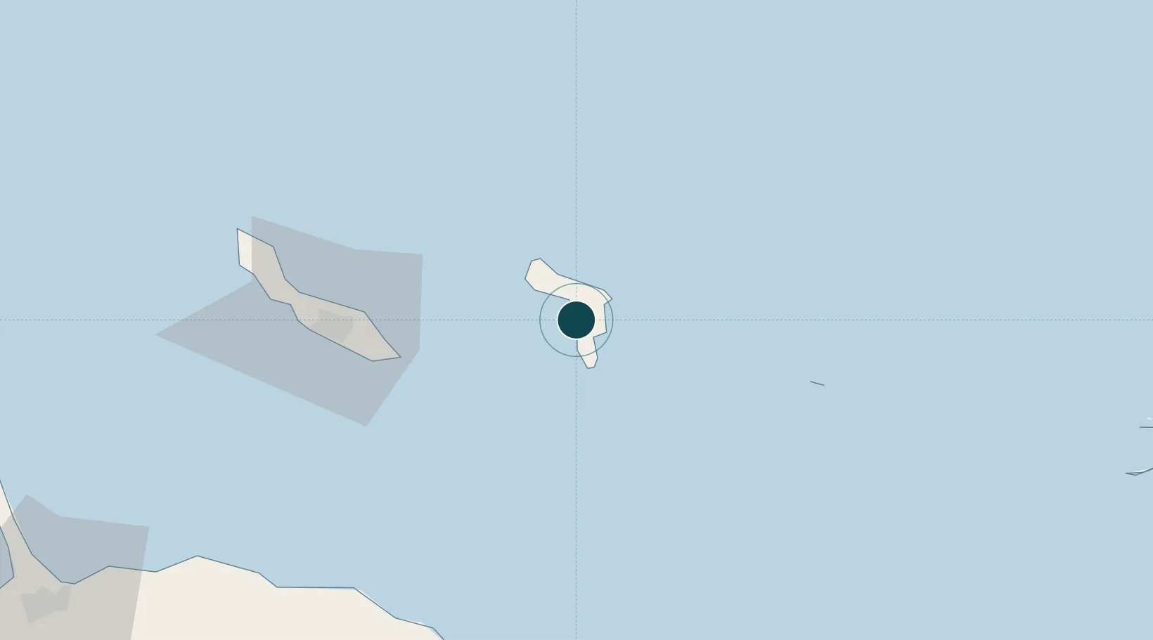
12.1500°, -68.2833°
12.5 m
Channel depth
9.4
Port liner connectivity
Channel & Berth Profile
Pilotage, Tugs & Services
Pilotage compulsoryYES
Pilotage availableYES
Tug assistanceYES
Potable waterYES
Diesel bunkersYES
MedicalYES
Garbage disposalYES
Facilities & Capabilities
ContainerYES
Ro-RoYES
Liquid bulkYES
Dry bulk—
Oil terminalYES
Break bulkYES
Dry dock—
RepairsNO
BunkeringYES
Rail link—
Dangerous cargo—
ISPS securityYES
Harbour Specifications
Harbour size
Very Small
Harbour type
Open Roadstead
Shelter
Fair
Water body
Caribbean Sea; North Atlantic Ocean
Tidal range
1 m
Overhead limit
No
Pilotage
Yes
Liner Connectivity
9.4
PLSCI
Port Liner Shipping Connectivity Index for Kralendijk, as published by UNCTAD for the latest available quarter. Higher values indicate stronger scheduled liner-shipping integration.
Shown relative to the highest per-port PLSCI in the dataset (1,657.9).
Location
Nearby Logistics Neighbours
Ports
- 1Salina7 km
- 2Goto Oil Terminal13 km
- 3Caracasbaai64 km
- 4Willemstad71 km
- 5Sint Michelsbaai80 km
Cities
- 1Dorp Tera Kora3 km
- 2Bonaire4 km
- 3Dorp Rincón11 km
- 4Goto13 km
- 5Fuikbaai59 km
Airports
Trade Zones