Seaport · Curaçao

Sint MichelsbaaiCWSMB

12.1333°, -69.0167°
Sint Michelsbaai is also a UN/LOCODE logistics hub →

Channel & Berth Profile

SEA LEVEL (CD)CHANNEL BEDAnchorage · 23.2 mCargo pier · 23.2 m
NGA World Port Index

Pilotage, Tugs & Services

Pilotage availableYES
Tug assistanceYES
Diesel bunkersNO
MedicalYES
NGA World Port Index

Facilities & Capabilities

Container
Ro-Ro
Liquid bulk
Dry bulk
Oil terminal
Break bulk
Dry dock
RepairsNO
BunkeringNO
Rail link
Dangerous cargo
ISPS security
NGA World Port Index

Harbour Specifications

Harbour size
Very Small
NGA World Port Index
Harbour type
Open Roadstead
NGA World Port Index
Shelter
Poor
NGA World Port Index
Water body
Caribbean Sea; North Atlantic Ocean
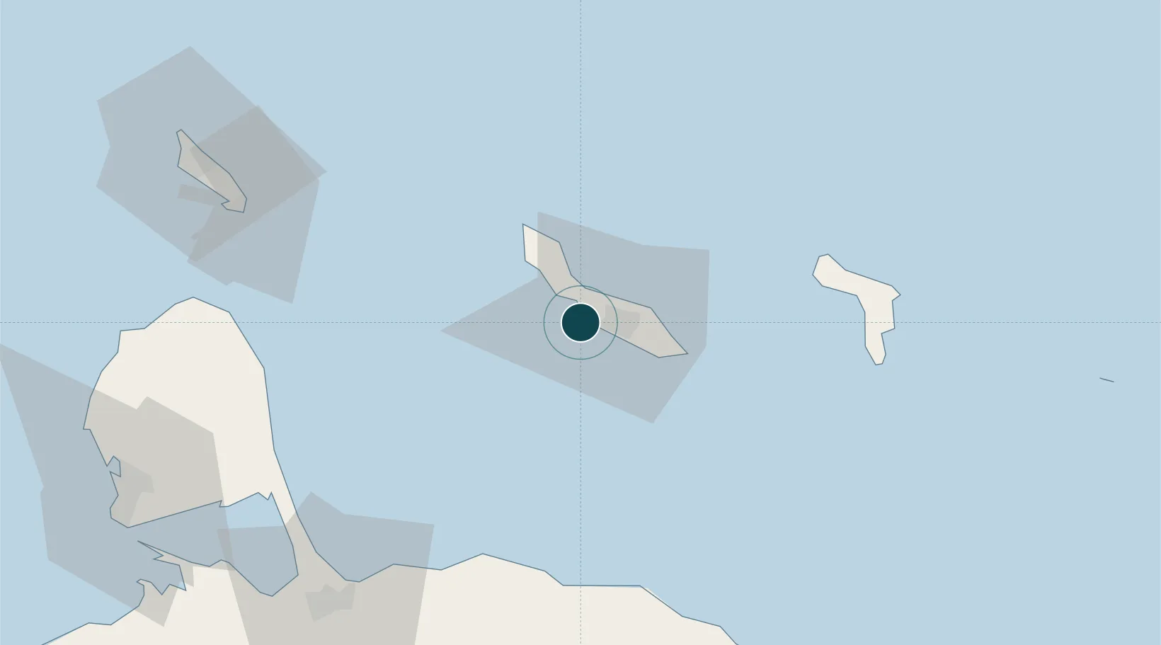
NGA World Port Index

Location

Location of CWSMB
Natural Earth 10m (public domain) · Curaçao · CWSMB · 12.13, -69.02GoogleOSMYandex

Nearby Logistics Neighbours

Ports
  1. 1Bullen Baai6 km
  2. 2Willemstad9 km
  3. 3Caracasbaai18 km
  4. 4Goto Oil Terminal70 km
  5. 5Kralendijk80 km
Nearest neighbours — logibook spatial index (haversine) over the source coordinates
Cities
  1. 1Bullenbaai4 km
  2. 2Curaçao4 km
  3. 3Grote Berg7 km
  4. 4Suffisant Dorp11 km
  5. 5Willemstad12 km
Nearest neighbours — logibook spatial index (haversine) over the source coordinates
Airports
  1. 1Hato International Airport9 km
  2. 2Flamingo International Airport81 km
  3. 3José Leonardo Chirinos Airport108 km
  4. 4Queen Beatrix International Airport116 km
  5. 5Josefa Camejo International Airport130 km
Nearest neighbours — logibook spatial index (haversine) over the source coordinates
Trade Zones
  1. 1Curaçao Airport Free Economic Zone8 km
  2. 2Harbor Free Zone Curaçao10 km
  3. 3Industrial Park Brievengat15 km
  4. 4Paraguana SEZ112 km
  5. 5Barcadera Free Zone113 km
Nearest neighbours — logibook spatial index (haversine) over the source coordinates
DatabookThe Record of Consolidated Knowledge
Curaçao beyond logistics?
Browse databook

All Sources

Portsthe NGA World Port Index
Public domain (US gov)
AirportsOurAirports
Public domain
LocationsUN/LOCODE
UN/LOCODE — free
Trade Zonesthe World Bank SEZ database
CC BY 4.0
Trade ZonesOpen Zone Map
CC BY
← Curaçao ports