UN/LOCODE hub · Caribbean Netherlands
BQRIN
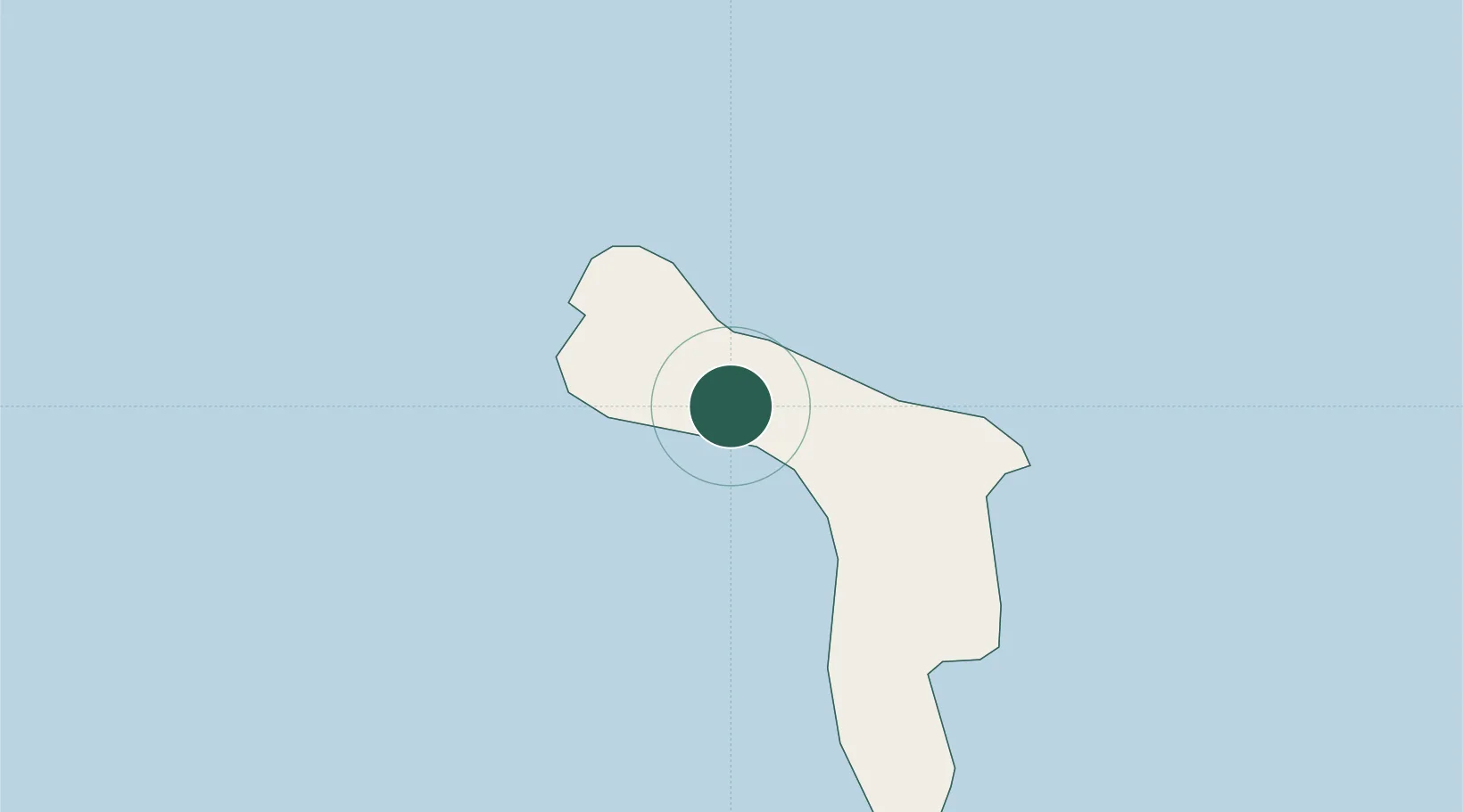
Dorp Rincón
12.2333°, -68.3333°
1,875
Population
2
Transport functions
Transport Functions
Port
Road
Hub Profile
Place type
Populated place
Region
Bonaire
Population
1,875
Time zone
America/Kralendijk
Elevation
64 m
Location
Nearby Logistics Neighbours
Cities
- 1Goto6 km
- 2Kralendijk12 km
- 3Dorp Tera Kora13 km
- 4Bonaire15 km
- 5Fuikbaai56 km
Ports
- 1Goto Oil Terminal6 km
- 2Kralendijk11 km
- 3Salina18 km
- 4Caracasbaai61 km
- 5Willemstad67 km
Airports
Trade Zones
- 1Industrial Park Brievengat60 km
- 2Harbor Free Zone Curaçao68 km
- 3Curaçao Airport Free Economic Zone69 km
- 4Barcadera Free Zone182 km
- 5Paraguana SEZ186 km