Medium airport · Venezuela

General Bartolome Salom International AirportSVPC
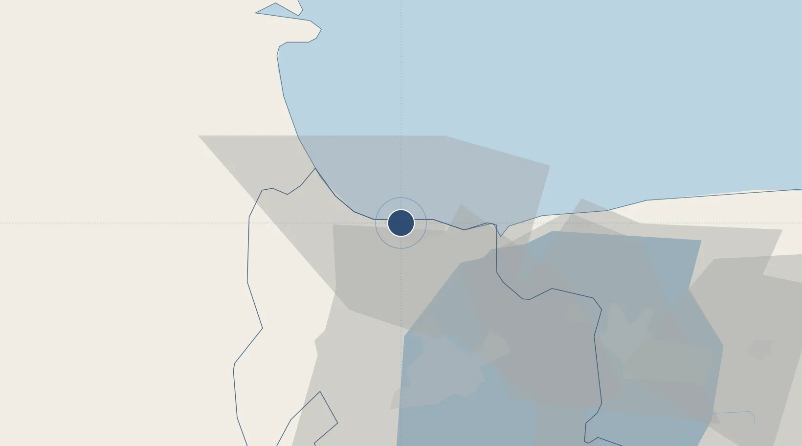
10.4805°, -68.0730°
6,970 ft
Longest runway
1
Runways
32 ft
Elevation

Runway & Layout

General Bartolome Salom International Airport runway & taxiway layout
Runway & taxiway layout — OpenStreetMap (ODbL) / OurAirports

Radio Frequencies

TWR
118.5 MHz
PUERTO CABELLO TWR
GND
121.9 MHz
OurAirports

Navaids

PBL VOR-DME Puerto Cabello 117.70 MHz
OurAirports

Runways · 1

RunwayDimensions SurfaceTrue headingLit
10/28 6,970 × 145ft Asphalt 096°
OurAirports

Airport Specifications

IATA code
PBL
OurAirports
ICAO code
SVPC
OurAirports
Airport class
Medium airport
OurAirports
Scheduled service
No
OurAirports
Runway surface
Asphalt
OurAirports
Served city
Puerto Cabello
OurAirports

Location

Location of SVPC
Natural Earth 10m (public domain) · Carabobo · SVPC · 10.48, -68.07GoogleOSMYandex

Nearby Logistics Neighbours

Airports
  1. 1Arturo Michelena International Airport40 km
  2. 2Escuela Mariscal Sucre Airport53 km
  3. 3El Libertador Airbase65 km
  4. 4Sub Teniente Nestor Arias Airport78 km
  5. 5San Juan de Los Morros Airport99 km
Nearest neighbours — logibook spatial index (haversine) over the source coordinates
Cities
  1. 1Puerto Cabello5 km
  2. 2Morón14 km
  3. 3San Diego30 km
  4. 4Los Guayos36 km
  5. 5El Consejo92 km
Nearest neighbours — logibook spatial index (haversine) over the source coordinates
Ports
  1. 1El Palito5 km
  2. 2Puerto Cabello8 km
  3. 3Puerto Borburata10 km
  4. 4Puerto Chichiriviche53 km
  5. 5Catia La Mar116 km
Nearest neighbours — logibook spatial index (haversine) over the source coordinates
Trade Zones
  1. 1Morón Puerto Cabello Special Economic Zone17 km
  2. 2Guarenas-Guatire Special Economic Zone162 km
  3. 3Harbor Free Zone Curaçao202 km
  4. 4Industrial Park Brievengat206 km
  5. 5Curaçao Airport Free Economic Zone213 km
Nearest neighbours — logibook spatial index (haversine) over the source coordinates
DatabookThe Record of Consolidated Knowledge
Venezuela beyond logistics?
Browse databook

All Sources

AirportsOurAirports
Public domain
Portsthe NGA World Port Index
Public domain (US gov)
LocationsUN/LOCODE
UN/LOCODE — free
Trade Zonesthe World Bank SEZ database
CC BY 4.0
Trade ZonesOpen Zone Map
CC BY
InfrastructureOpenStreetMap
ODbL 1.0
← Venezuela airports