Medium airport · Venezuela

José Leonardo Chirinos AirportSVCR
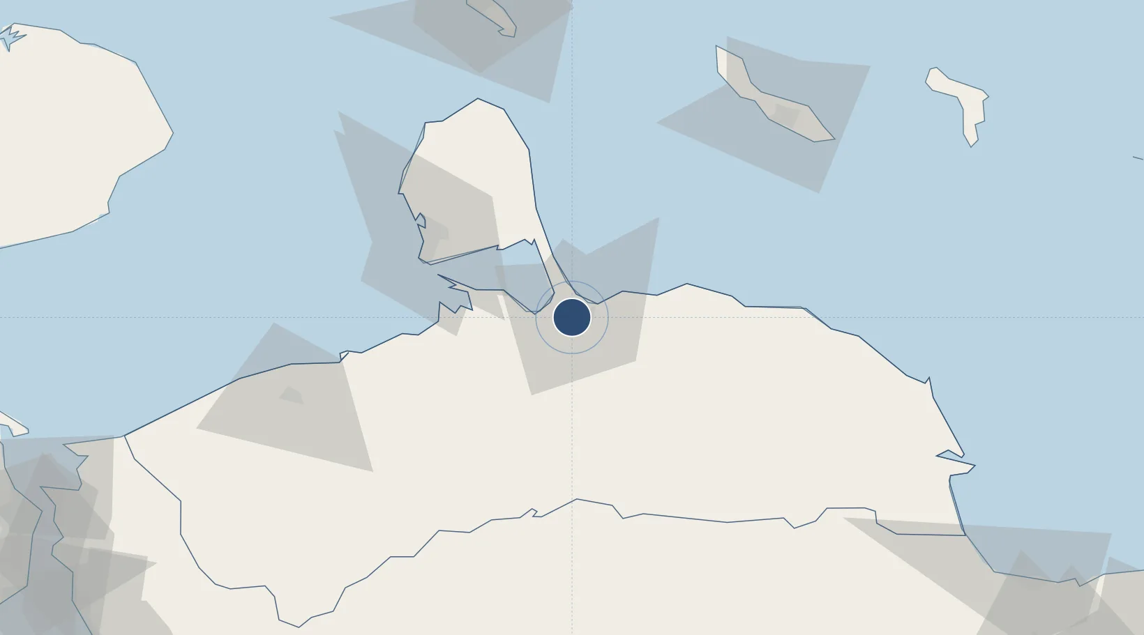
11.4149°, -69.6809°
6,761 ft
Longest runway
1
Runways
52 ft
Elevation

Runway & Layout

José Leonardo Chirinos Airport runway & taxiway layout
Runway & taxiway layout — OpenStreetMap (ODbL) / OurAirports

Radio Frequencies

TWR
122.2 MHz
CORO TWR
GND
121.9 MHz
OurAirports

Navaids

CRO VOR-DME Coro 117.30 MHz
OurAirports

Runways · 1

RunwayDimensions SurfaceTrue headingLit
09/27 6,761 × 148ft Asphalt 079°
OurAirports

Airport Specifications

IATA code
CZE
OurAirports
ICAO code
SVCR
OurAirports
Airport class
Medium airport
OurAirports
Scheduled service
Yes
OurAirports
Runway surface
Asphalt
OurAirports
Served city
Coro
OurAirports

Location

Location of SVCR
Natural Earth 10m (public domain) · Falcón · SVCR · 11.41, -69.68GoogleOSMYandex

Nearby Logistics Neighbours

Airports
  1. 1Josefa Camejo International Airport65 km
  2. 2Hato International Airport117 km
  3. 3Queen Beatrix International Airport126 km
  4. 4Jacinto Lara International Airport157 km
  5. 5Sub Teniente Nestor Arias Airport162 km
Nearest neighbours — logibook spatial index (haversine) over the source coordinates
Cities
  1. 1Puerto Cumarebo37 km
  2. 2Punto Fijo62 km
  3. 3Punta Cardón64 km
  4. 4Paraguana Refinery Center64 km
  5. 5Guaranao65 km
Nearest neighbours — logibook spatial index (haversine) over the source coordinates
Ports
  1. 1Puerto Cumarebo37 km
  2. 2Punta Cardon65 km
  3. 3Las Piedras66 km
  4. 4Amuay (Bahia De Amuay)71 km
  5. 5Sint Michelsbaai108 km
Nearest neighbours — logibook spatial index (haversine) over the source coordinates
DatabookThe Record of Consolidated Knowledge
Venezuela beyond logistics?
Browse databook

All Sources

AirportsOurAirports
Public domain
Portsthe NGA World Port Index
Public domain (US gov)
LocationsUN/LOCODE
UN/LOCODE — free
Trade Zonesthe World Bank SEZ database
CC BY 4.0
Trade ZonesOpen Zone Map
CC BY
InfrastructureOpenStreetMap
ODbL 1.0
← Venezuela airports