Channel & Berth Profile
Pilotage, Tugs & Services
Pilotage compulsoryYES
Pilotage availableYES
Tug assistanceYES
Diesel bunkersYES
MedicalYES
Garbage disposalYES
Facilities & Capabilities
Container—
Ro-Ro—
Liquid bulk—
Dry bulk—
Oil terminal—
Break bulk—
Dry dock—
RepairsNO
Bunkering—
Rail link—
Dangerous cargo—
ISPS security—
Harbour Specifications
Harbour size
Very Small
Harbour type
Open Roadstead
Shelter
Poor
Water body
Caribbean Sea; North Atlantic Ocean
Pilotage
Yes
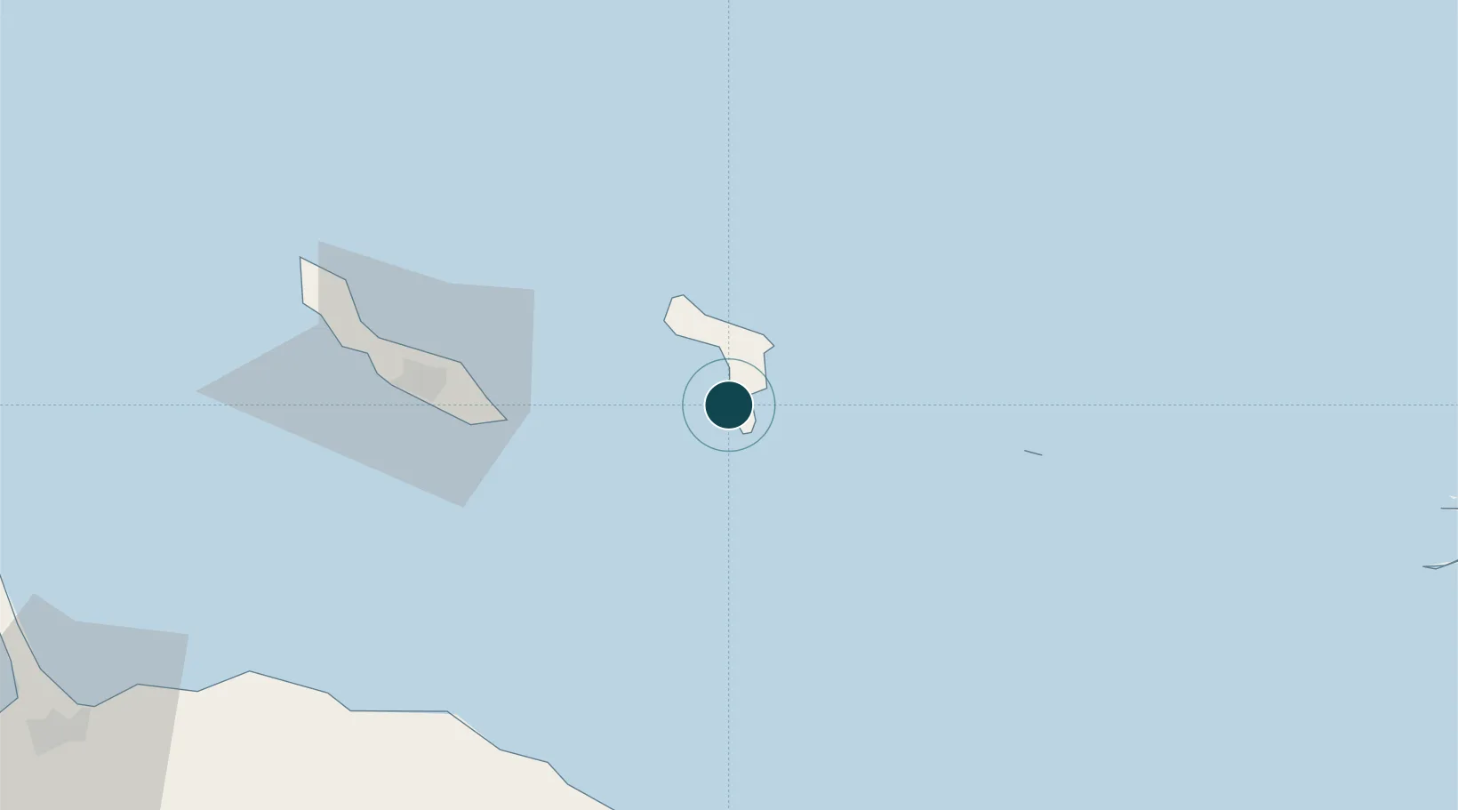
Location
Nearby Logistics Neighbours
Ports
- 1Kralendijk7 km
- 2Goto Oil Terminal18 km
- 3Caracasbaai64 km
- 4Willemstad71 km
- 5Sint Michelsbaai80 km
Cities
- 1Bonaire4 km
- 2Dorp Tera Kora6 km
- 3Kralendijk8 km
- 4Dorp Rincón18 km
- 5Goto18 km
Airports
Trade Zones