UN/LOCODE hub · Caribbean Netherlands
BQKRA
Kralendijk
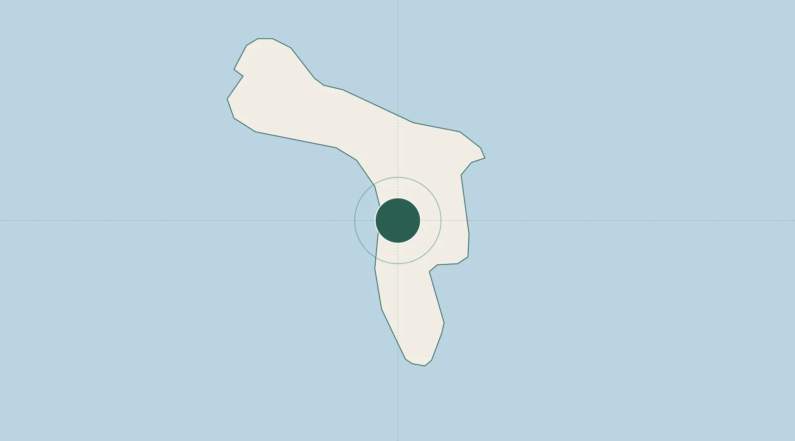
12.1500°, -68.2667°
10,620
Population
1
Transport functions
Transport Functions
Port
Hub Profile
Place type
National capital
Region
Bonaire
Population
10,620
Time zone
America/Kralendijk
Elevation
4 m
Location
Nearby Logistics Neighbours
Cities
- 1Dorp Tera Kora2 km
- 2Bonaire4 km
- 3Dorp Rincón12 km
- 4Goto15 km
- 5Fuikbaai61 km
Ports
- 1Salina8 km
- 2Goto Oil Terminal15 km
- 3Caracasbaai66 km
- 4Willemstad73 km
- 5Sint Michelsbaai82 km
Airports
Trade Zones