Channel & Berth Profile
Pilotage, Tugs & Services
Pilotage compulsoryYES
Pilotage availableYES
Pilotage advisableYES
Local assistanceYES
Tug assistanceYES
Shore powerYES
Potable waterYES
MedicalYES
Garbage disposalYES
Facilities & Capabilities
Container—
Ro-Ro—
Liquid bulkYES
Dry bulk—
Oil terminalYES
Break bulk—
Dry dock—
RepairsNO
BunkeringYES
Rail link—
Dangerous cargo—
ISPS securityYES
Harbour Specifications
Harbour size
Very Small
Harbour type
Open Roadstead
Shelter
Fair
Water body
Caribbean Sea; North Atlantic Ocean
Overhead limit
No
Pilotage
Yes
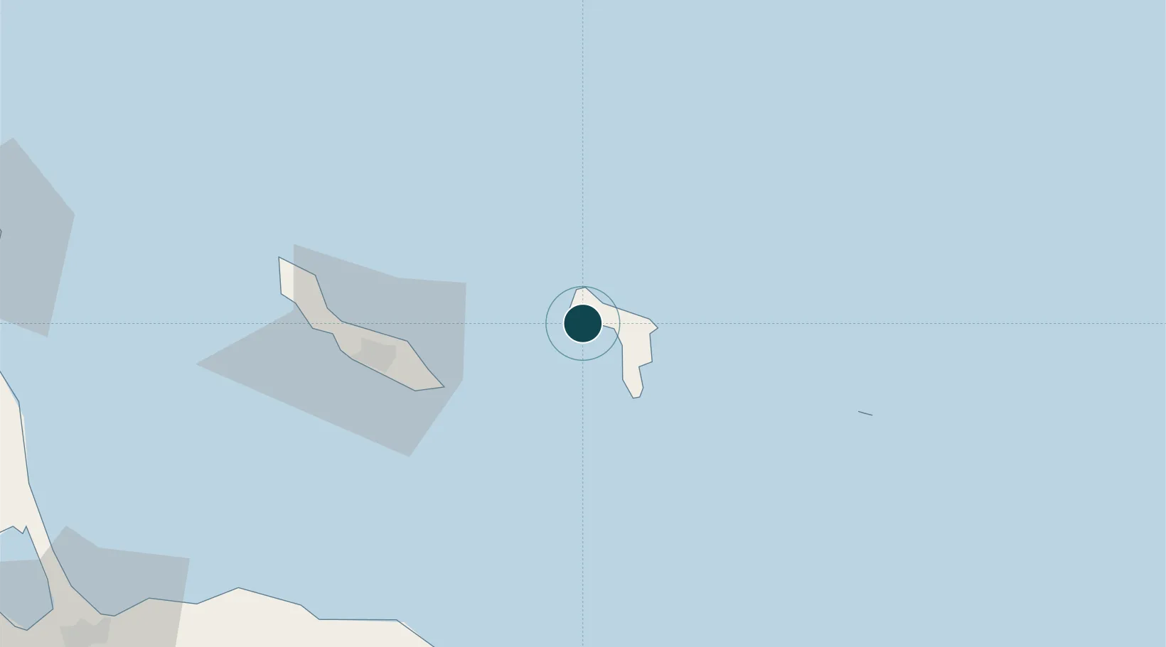
Location
Nearby Logistics Neighbours
Ports
- 1Kralendijk13 km
- 2Salina18 km
- 3Caracasbaai55 km
- 4Willemstad61 km
- 5Sint Michelsbaai70 km
Cities
- 1Dorp Rincón6 km
- 2Kralendijk15 km
- 3Dorp Tera Kora16 km
- 4Bonaire17 km
- 5Fuikbaai51 km
Airports
Trade Zones
- 1Industrial Park Brievengat55 km
- 2Harbor Free Zone Curaçao62 km
- 3Curaçao Airport Free Economic Zone63 km
- 4Barcadera Free Zone177 km
- 5Paraguana SEZ180 km