Transport Functions
Port
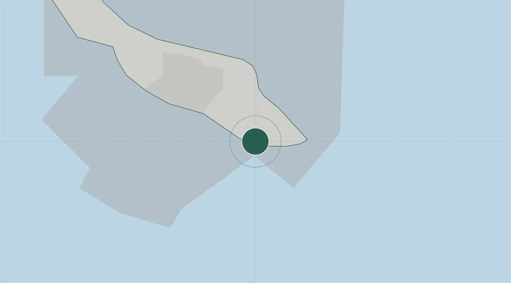
Location
Nearby Logistics Neighbours
Cities
- 1Caracas Baai4 km
- 2Dominguito11 km
- 3Zeelandia12 km
- 4Willemstad12 km
- 5Suffisant Dorp16 km
Ports
- 1Caracasbaai6 km
- 2Willemstad15 km
- 3Sint Michelsbaai24 km
- 4Bullen Baai28 km
- 5Goto Oil Terminal51 km
Airports
Trade Zones
- 1Harbor Free Zone Curaçao14 km
- 2Industrial Park Brievengat14 km
- 3Curaçao Airport Free Economic Zone22 km
- 4Paraguana SEZ130 km
- 5Barcadera Free Zone137 km
DatabookThe Record of Consolidated Knowledge
Curaçao beyond logistics?