Transport Functions
Port
Airport
Postal
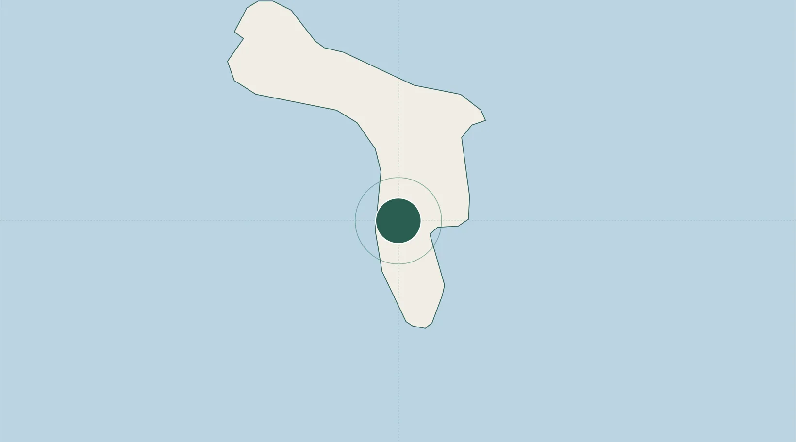
Location
Nearby Logistics Neighbours
Cities
- 1Dorp Tera Kora2 km
- 2Kralendijk4 km
- 3Dorp Rincón15 km
- 4Goto17 km
- 5Fuikbaai60 km
Ports
- 1Kralendijk4 km
- 2Salina4 km
- 3Goto Oil Terminal17 km
- 4Caracasbaai66 km
- 5Willemstad73 km
Airports
Trade Zones