Free Trade Zone · Venezuela

Paraguana SEZ Active
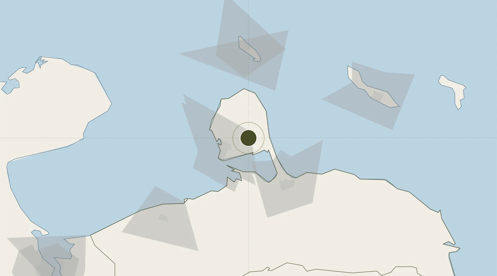
11.7923°, -69.9808°
268,700 ha
Zone area
27.7 km
Nearest port
18.6 km
Nearest airport

Gateway access

Nearest neighbours — logibook spatial index (haversine) over the source coordinates

Zone profile

Zone type
Free Trade Zone
Open Zone Map
Region
Falcón
Open Zone Map
Status
Active
Open Zone Map
Management
Public
Open Zone Map
Operator
National Integrated Service for the Administration of Customs Duties and Taxes (SENIAT)
Open Zone Map
Legal framework
Organic Law of Special Economic Zones (Upcoming)
Open Zone Map

Location

Location of ozm-5324
Natural Earth 10m (public domain) · Falcón · ozm-5324 · 11.79, -69.98GoogleOSMYandex

Nearby Logistics Neighbours

Ports
  1. 1Las Piedras28 km
  2. 2Amuay (Bahia De Amuay)28 km
  3. 3Punta Cardon33 km
  4. 4Sint Nicolaas Baai72 km
  5. 5Puerto Cumarebo77 km
Nearest neighbours — logibook spatial index (haversine) over the source coordinates
Airports
  1. 1Josefa Camejo International Airport19 km
  2. 2José Leonardo Chirinos Airport53 km
  3. 3Queen Beatrix International Airport79 km
  4. 4Hato International Airport120 km
  5. 5Flamingo International Airport190 km
Nearest neighbours — logibook spatial index (haversine) over the source coordinates
Cities
  1. 1Punto Fijo25 km
  2. 2Guaranao29 km
  3. 3Punta Cardón30 km
  4. 4Paraguana Refinery Center34 km
  5. 5Aruba77 km
Nearest neighbours — logibook spatial index (haversine) over the source coordinates
DatabookThe Record of Consolidated Knowledge
Venezuela beyond logistics?
Browse databook

All Sources

Trade ZonesOpen Zone Map
CC BY
Portsthe NGA World Port Index
Public domain (US gov)
AirportsOurAirports
Public domain
LocationsUN/LOCODE
UN/LOCODE — free
← Venezuela trade zones