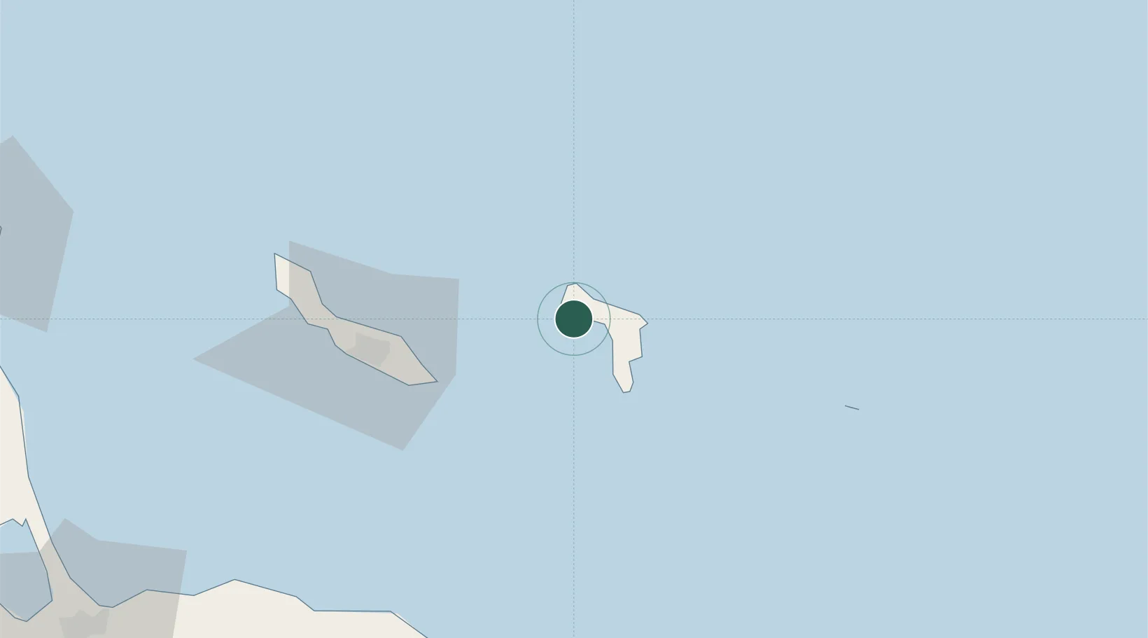
UN/LOCODE hub · Caribbean Netherlands
BQGOT

Goto

12.2167°, -68.3833°
1
Transport functions

Transport Functions

Port
Goto is also a profiled seaport →
UN/LOCODE

Location

Location of BQGOT
Natural Earth 10m (public domain) · Bonaire · BQGOT · 12.22, -68.38GoogleOSMYandex

Nearby Logistics Neighbours

Cities
  1. 1Dorp Rincón6 km
  2. 2Kralendijk15 km
  3. 3Dorp Tera Kora16 km
  4. 4Bonaire17 km
  5. 5Fuikbaai51 km
Nearest neighbours — logibook spatial index (haversine) over the source coordinates
Ports
  1. 1Kralendijk13 km
  2. 2Salina18 km
  3. 3Caracasbaai55 km
  4. 4Willemstad61 km
  5. 5Sint Michelsbaai70 km
Nearest neighbours — logibook spatial index (haversine) over the source coordinates
Airports
  1. 1Flamingo International Airport16 km
  2. 2Hato International Airport63 km
  3. 3José Leonardo Chirinos Airport167 km
  4. 4Queen Beatrix International Airport180 km
  5. 5Los Roques Airport189 km
Nearest neighbours — logibook spatial index (haversine) over the source coordinates
Trade Zones
  1. 1Industrial Park Brievengat55 km
  2. 2Harbor Free Zone Curaçao62 km
  3. 3Curaçao Airport Free Economic Zone63 km
  4. 4Barcadera Free Zone177 km
  5. 5Paraguana SEZ180 km
Nearest neighbours — logibook spatial index (haversine) over the source coordinates

All Sources

LocationsUN/LOCODE
UN/LOCODE — free
Portsthe NGA World Port Index
Public domain (US gov)
AirportsOurAirports
Public domain
Trade Zonesthe World Bank SEZ database
CC BY 4.0
Trade ZonesOpen Zone Map
CC BY
← Caribbean Netherlands locations