Large airport · Curaçao

Hato International AirportTNCC
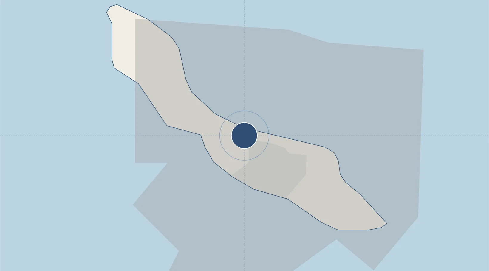
12.1889°, -68.9598°
11,188 ft
Longest runway
1
Runways
29 ft
Elevation

Runway & Layout

Hato International Airport runway & taxiway layout
Runway & taxiway layout — OpenStreetMap (ODbL) / OurAirports

Radio Frequencies

TWR
118.3 MHz
APP
119.6 MHz
MISC
131.8 MHz
CATS SVC
OPS
24.02 MHz
DUTCH OPS CALL HO
POST
25 MHz
IGUANA OPS
OurAirports

Navaids

HTO TACAN Hato 134.10 MHz
PJG VOR-DME Curacao 116.70 MHz
OurAirports

Runways · 1

RunwayDimensions SurfaceTrue headingLit
11/29 11,188 × 197ft Asphalt 102°
OurAirports

Airport Specifications

IATA code
CUR
OurAirports
ICAO code
TNCC
OurAirports
Airport class
Large airport
OurAirports
Scheduled service
Yes
OurAirports
Runway surface
Asphalt
OurAirports
Served city
Willemstad
OurAirports

Location

Location of TNCC
Natural Earth 10m (public domain) · Curaçao · TNCC · 12.19, -68.96GoogleOSMYandex

Nearby Logistics Neighbours

Airports
  1. 1Flamingo International Airport75 km
  2. 2José Leonardo Chirinos Airport117 km
  3. 3Queen Beatrix International Airport120 km
  4. 4Josefa Camejo International Airport137 km
  5. 5General Bartolome Salom International Airport213 km
Nearest neighbours — logibook spatial index (haversine) over the source coordinates
Cities
  1. 1Grote Berg3 km
  2. 2Bullenbaai5 km
  3. 3Curaçao5 km
  4. 4Sint Michielsbaai5 km
  5. 5Suffisant Dorp6 km
Nearest neighbours — logibook spatial index (haversine) over the source coordinates
Ports
  1. 1Bullen Baai8 km
  2. 2Willemstad9 km
  3. 3Sint Michelsbaai9 km
  4. 4Caracasbaai17 km
  5. 5Goto Oil Terminal63 km
Nearest neighbours — logibook spatial index (haversine) over the source coordinates
Trade Zones
  1. 1Curaçao Airport Free Economic Zone1 km
  2. 2Industrial Park Brievengat9 km
  3. 3Harbor Free Zone Curaçao12 km
  4. 4Barcadera Free Zone117 km
  5. 5Paraguana SEZ120 km
Nearest neighbours — logibook spatial index (haversine) over the source coordinates
DatabookThe Record of Consolidated Knowledge
Curaçao beyond logistics?
Browse databook

All Sources

AirportsOurAirports
Public domain
Portsthe NGA World Port Index
Public domain (US gov)
LocationsUN/LOCODE
UN/LOCODE — free
Trade Zonesthe World Bank SEZ database
CC BY 4.0
Trade ZonesOpen Zone Map
CC BY
← Curaçao airports