UN/LOCODE hub · Caribbean Netherlands
BQDTK
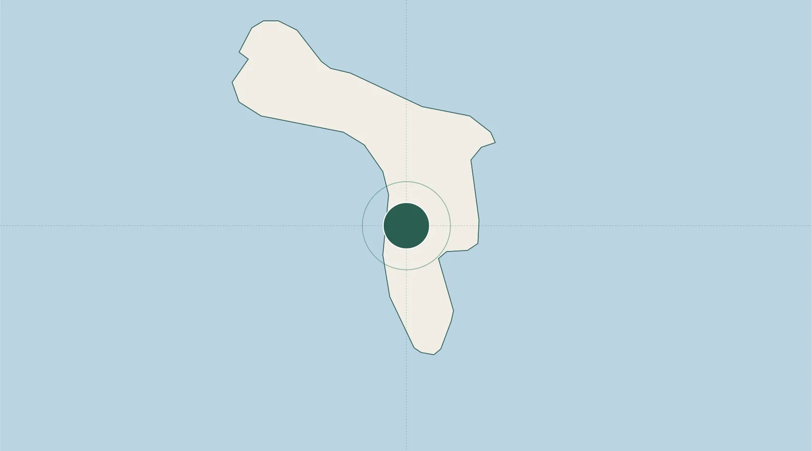
Dorp Tera Kora
12.1333°, -68.2667°
1,186
Population
1
Transport functions
Transport Functions
Multimodal
Hub Profile
Place type
Populated place
Region
Bonaire
Population
1,186
Time zone
America/Kralendijk
Elevation
1 m
Location
Nearby Logistics Neighbours
Cities
- 1Bonaire2 km
- 2Kralendijk2 km
- 3Dorp Rincón13 km
- 4Goto16 km
- 5Fuikbaai61 km
Ports
- 1Kralendijk3 km
- 2Salina6 km
- 3Goto Oil Terminal16 km
- 4Caracasbaai66 km
- 5Willemstad73 km
Airports
Trade Zones