Diversified Zone · Curaçao

Harbor Free Zone Curaçao Active
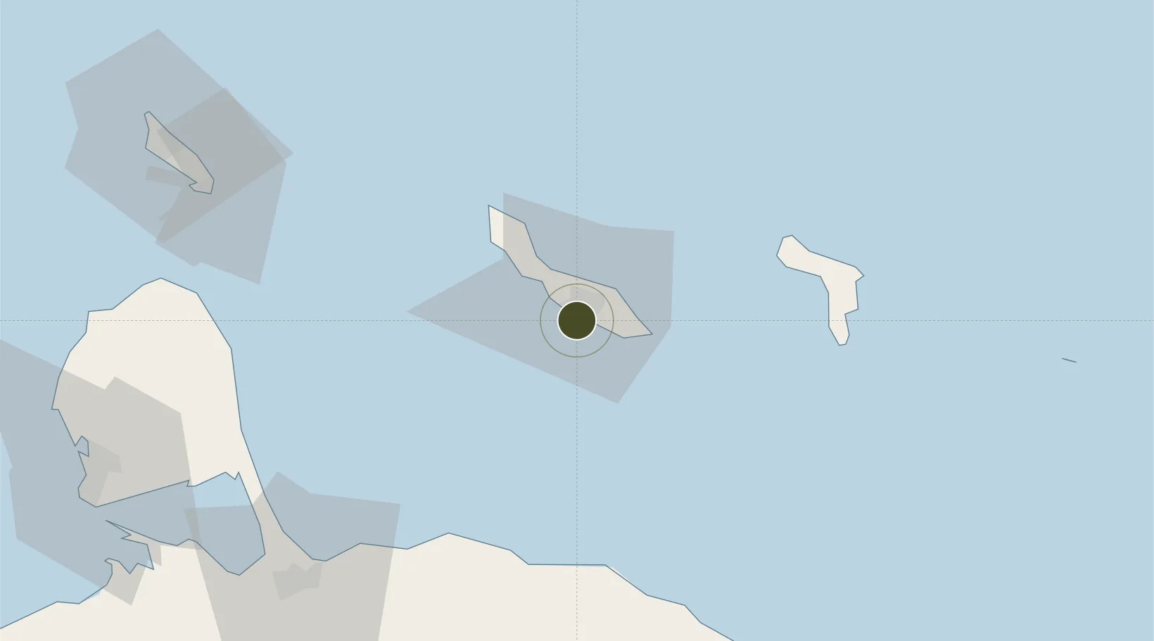
12.0885°, -68.9362°
23 ha
Zone area
3.1 km
Nearest port
11.5 km
Nearest airport

Gateway access

Nearest neighbours — logibook spatial index (haversine) over the source coordinates

Zone profile

Zone type
Diversified Zone
Open Zone Map
Region
Curaçao
Open Zone Map
Status
Active
Open Zone Map
Management
Public-Private Partnership
Open Zone Map
Operator
Curinde
Open Zone Map
Legal framework
Curacao's Economic Zone Law
Open Zone Map

Location

Location of ozm-1732
Natural Earth 10m (public domain) · Curaçao · ozm-1732 · 12.09, -68.94GoogleOSMYandex

Nearby Logistics Neighbours

Ports
  1. 1Willemstad3 km
  2. 2Caracasbaai8 km
  3. 3Sint Michelsbaai10 km
  4. 4Bullen Baai15 km
  5. 5Goto Oil Terminal62 km
Nearest neighbours — logibook spatial index (haversine) over the source coordinates
Airports
  1. 1Hato International Airport12 km
  2. 2Flamingo International Airport73 km
  3. 3José Leonardo Chirinos Airport110 km
  4. 4Queen Beatrix International Airport126 km
  5. 5Josefa Camejo International Airport137 km
Nearest neighbours — logibook spatial index (haversine) over the source coordinates
Cities
  1. 1Willemstad3 km
  2. 2Dominguito4 km
  3. 3Zeelandia5 km
  4. 4Suffisant Dorp7 km
  5. 5Sint Michielsbaai9 km
Nearest neighbours — logibook spatial index (haversine) over the source coordinates
Trade Zones
  1. 1Industrial Park Brievengat10 km
  2. 2Curaçao Airport Free Economic Zone11 km
  3. 3Paraguana SEZ118 km
  4. 4Barcadera Free Zone123 km
  5. 5Bushiri Free Zone131 km
Nearest neighbours — logibook spatial index (haversine) over the source coordinates
DatabookThe Record of Consolidated Knowledge
Curaçao beyond logistics?
Browse databook

All Sources

Trade ZonesOpen Zone Map
CC BY
Portsthe NGA World Port Index
Public domain (US gov)
AirportsOurAirports
Public domain
LocationsUN/LOCODE
UN/LOCODE — free
← Curaçao trade zones