Seaport · Curaçao
WillemstadCWWIL
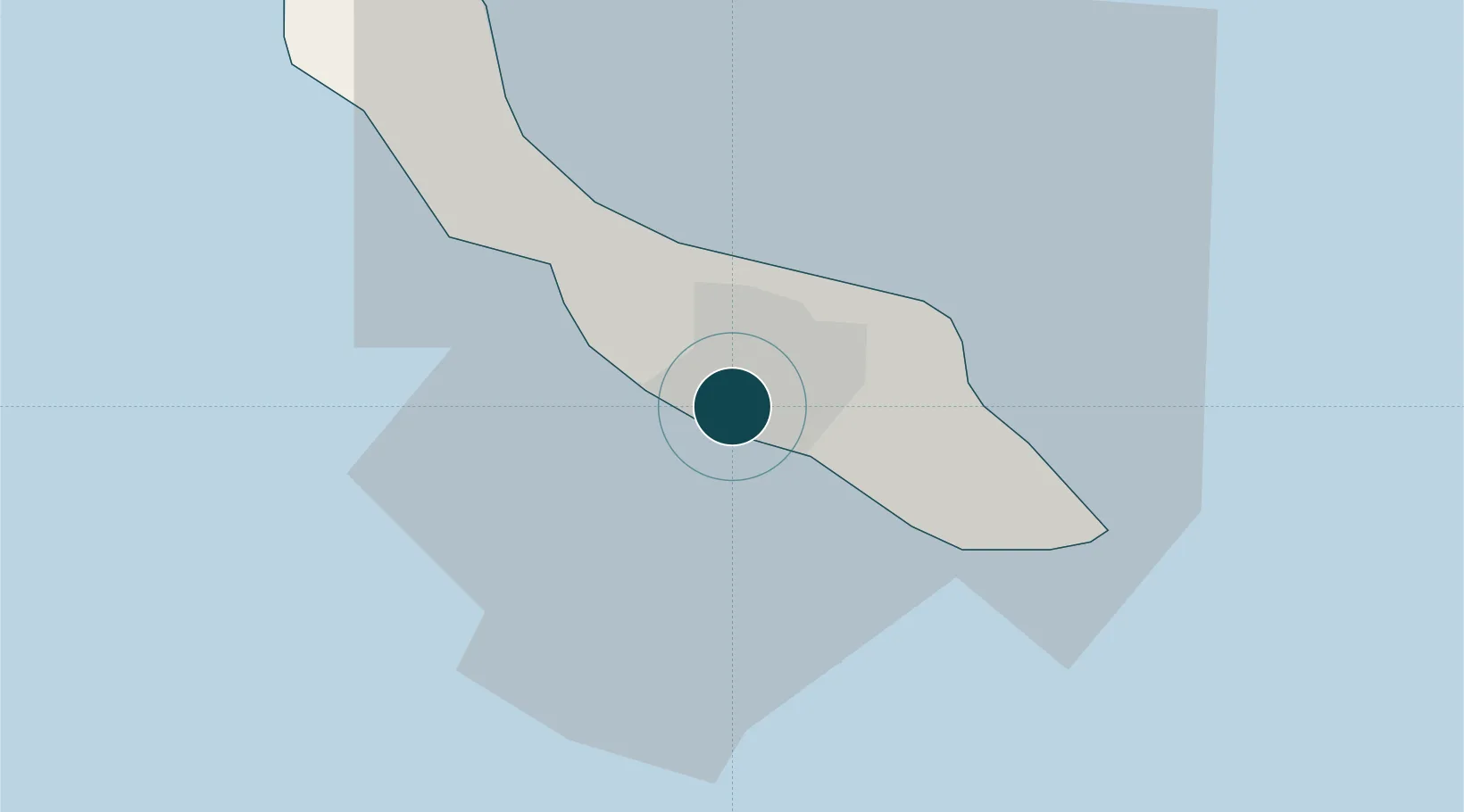
12.1167°, -68.9333°
14.0 m
Channel depth
1
Container terminals
51.2
Port liner connectivity
Channel & Berth Profile
Pilotage, Tugs & Services
Pilotage compulsoryYES
Pilotage availableYES
Pilotage advisableYES
Local assistanceYES
Tug assistanceYES
Salvage tugsYES
Shore powerYES
Potable waterYES
Diesel bunkersYES
MedicalYES
Facilities & Capabilities
ContainerYES
Ro-RoYES
Liquid bulkYES
Dry bulkYES
Oil terminalYES
Break bulkYES
Dry dockNO
RepairsNO
BunkeringYES
Rail link—
Dangerous cargo—
ISPS securityYES
Harbour Specifications
Harbour size
Medium
Harbour type
Coastal (Breakwater)
Shelter
Good
Water body
Caribbean Sea; North Atlantic Ocean
Tidal range
1 m
Overhead limit
Yes
Pilotage
Yes
Liner Connectivity
51.2
PLSCI
Port Liner Shipping Connectivity Index for Willemstad, as published by UNCTAD for the latest available quarter. Higher values indicate stronger scheduled liner-shipping integration.
Shown relative to the highest per-port PLSCI in the dataset (1,657.9).
Location
Container Terminals · 1
CURACAO PORT SERVICES
CPS CURACAO PORT SERVICES INC.
Nearby Logistics Neighbours
Ports
- 1Caracasbaai9 km
- 2Sint Michelsbaai9 km
- 3Bullen Baai13 km
- 4Goto Oil Terminal61 km
- 5Kralendijk71 km
Cities
- 1Zeelandia4 km
- 2Dominguito4 km
- 3Suffisant Dorp4 km
- 4Sint Michielsbaai7 km
- 5Bullenbaai9 km
Airports
Trade Zones
- 1Harbor Free Zone Curaçao3 km
- 2Industrial Park Brievengat7 km
- 3Curaçao Airport Free Economic Zone8 km
- 4Paraguana SEZ120 km
- 5Barcadera Free Zone122 km
DatabookThe Record of Consolidated Knowledge
Curaçao beyond logistics?