UN/LOCODE hub · Sint Maarten
SXPHI
Philipsburg
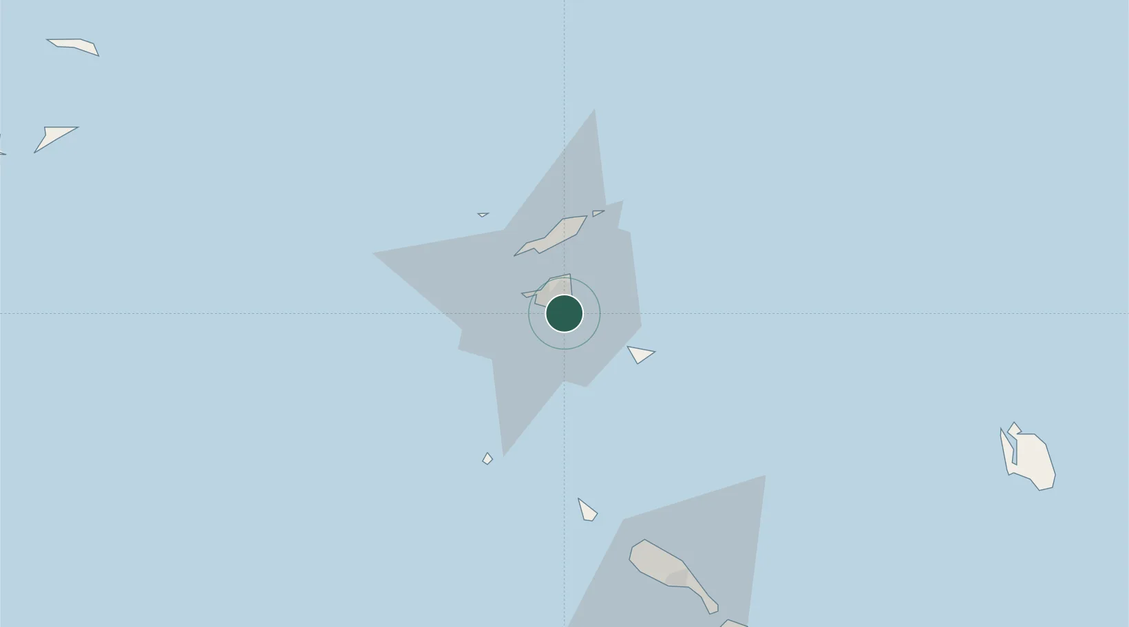
18.0167°, -63.0333°
1,400
Population
2
Transport functions
Transport Functions
Port
Road
Hub Profile
Place type
National capital
Population
1,400
Time zone
America/Lower_Princes
Elevation
0 m
Location
Nearby Logistics Neighbours
Cities
- 1Gallis Bay4 km
- 2Marigot7 km
- 3Galisbay8 km
- 4Marigot8 km
- 5Marigot9 km
Ports
- 1Gustavia23 km
- 2Oranjestad60 km
- 3Basseterre87 km
- 4Charlestown107 km
- 5St Johns161 km
Airports
Trade Zones
- 1Free Trade & Processing Zone163 km
- 2Antigua and Barbuda Special Economic Zone (ABSEZ)170 km
- 3FTZ No. 061 San Juan330 km
- 4FTZ No. 163 Ponce372 km
- 5FTZ No. 007 Mayaguez437 km
DatabookThe Record of Consolidated Knowledge
Sint Maarten beyond logistics?