UN/LOCODE hub · Australia
AUGHU

Darlinghurst

-33.8833°, 151.2167°
12,073
Population
1
Transport functions

Transport Functions

Multimodal
UN/LOCODE

Hub Profile

Place type
Urban district
GeoNames
Region
New South Wales
GeoNames
Population
12,073
GeoNames
Time zone
Australia/Sydney
GeoNames
Elevation
53 m
GeoNames

Location

Location of AUGHU
Natural Earth 10m (public domain) · New South Wales · AUGHU · -33.88, 151.22GoogleOSMYandex

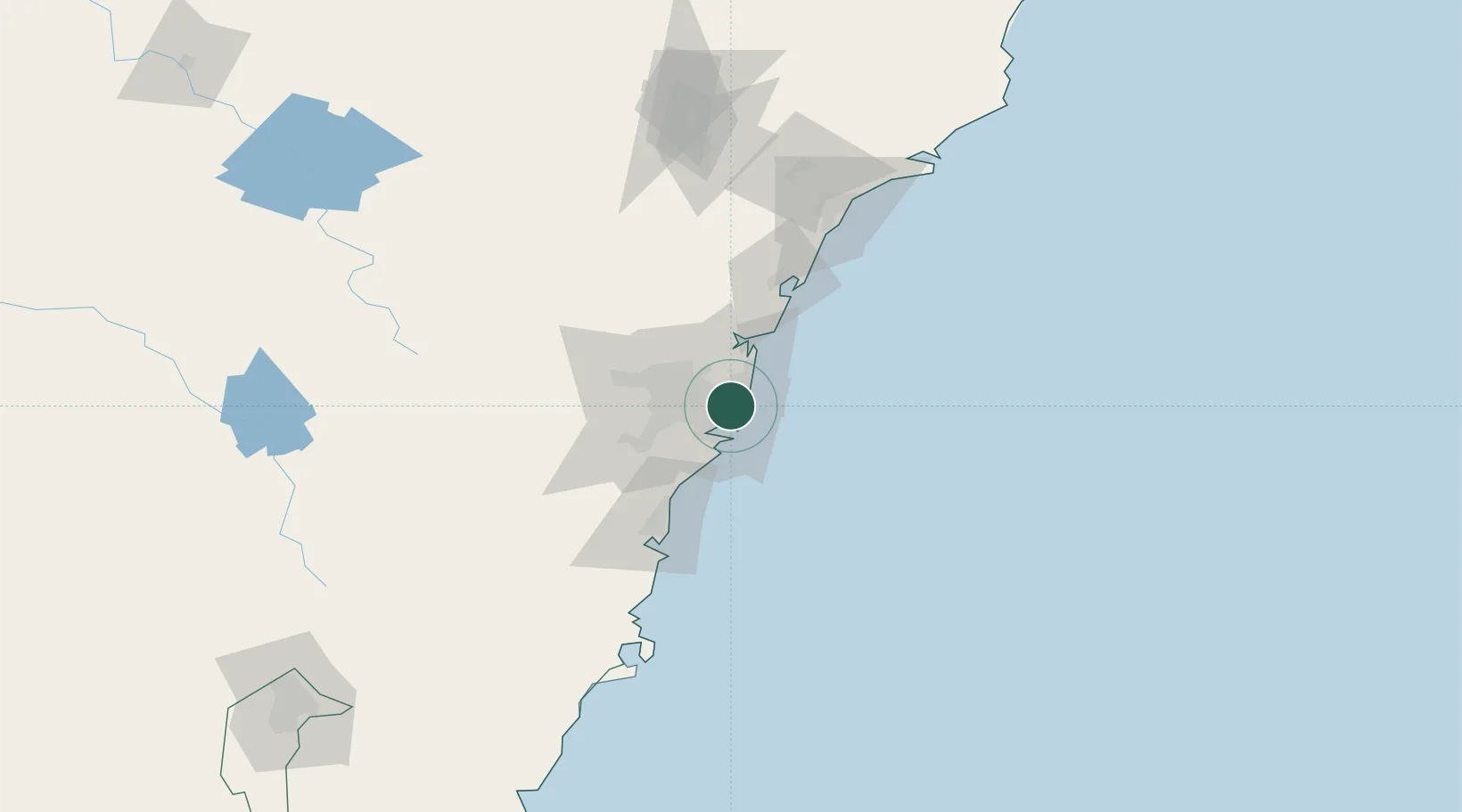
Nearby Logistics Neighbours

Cities
  1. 1Paddington0 km
  2. 2Surry Hills0 km
  3. 3Bondi Junction2 km
  4. 4Chippendale2 km
  5. 5Woolloomooloo2 km
Nearest neighbours — logibook spatial index (haversine) over the source coordinates
Ports
  1. 1Sydney2 km
  2. 2Botany Bay13 km
  3. 3Port Kembla72 km
  4. 4Newcastle120 km
  5. 5Jervis Bay142 km
Nearest neighbours — logibook spatial index (haversine) over the source coordinates
Airports
  1. 1Sydney Kingsford Smith International Airport8 km
  2. 2Sydney Bankstown Airport21 km
  3. 3Palm Beach Seaplane Base34 km
  4. 4RAAF Base Richmond51 km
  5. 5Camden Airport52 km
Nearest neighbours — logibook spatial index (haversine) over the source coordinates
Trade Zones
  1. 1Latrobe Valley Economic Growth Zone650 km
  2. 2Hicks Bay Area Special Economic Zone2456 km
  3. 3Vanuatu Economic Development Zone2595 km
  4. 4Paga Hill Estate Special Economic Zone2745 km
  5. 5Tulagi Island Special Economic Zone2903 km
Nearest neighbours — logibook spatial index (haversine) over the source coordinates
DatabookThe Record of Consolidated Knowledge
Australia beyond logistics?
Browse databook

All Sources

LocationsUN/LOCODE
UN/LOCODE — free
LocationsGeoNames
CC BY 4.0
Portsthe NGA World Port Index
Public domain (US gov)
AirportsOurAirports
Public domain
Trade Zonesthe World Bank SEZ database
CC BY 4.0
Trade ZonesOpen Zone Map
CC BY
← Australia locations