UN/LOCODE hub · Australia
AULST
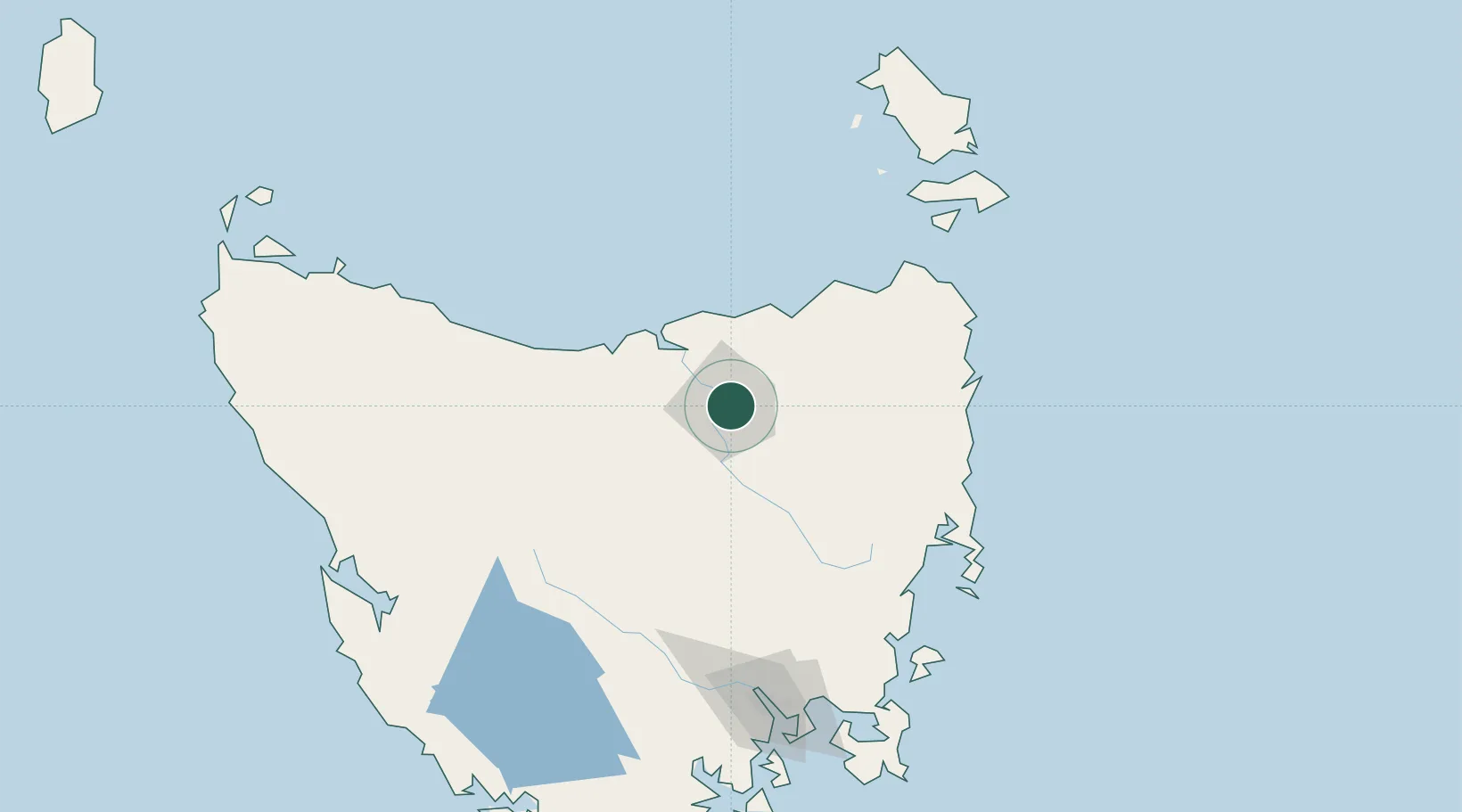
Launceston
-41.4304°, 147.1543°
90,953
Population
2
Transport functions
Transport Functions
Port
Airport
Hub Profile
Place type
Provincial seat
Region
Tasmania
Population
90,953
Time zone
Australia/Hobart
Elevation
11 m
Logistics facilities
1
Location
Nearby Logistics Neighbours
Cities
- 1Invermay2 km
- 2Mayfield6 km
- 3Mowbray Heights6 km
- 4Newnham6 km
- 5Lilydale16 km
Ports
- 1Beauty Point42 km
- 2Port Dalrymple43 km
- 3Devonport71 km
- 4Burnie109 km
- 5Hobart162 km
Airports
- 1Launceston Airport14 km
- 2Devonport Airport67 km
- 3Wynyard Airport129 km
- 4Hobart International Airport159 km
- 5Flinders Island Airport165 km
Trade Zones
DatabookThe Record of Consolidated Knowledge
Australia beyond logistics?