Transport Functions
Port
Rail
Road
Hub Profile
Region
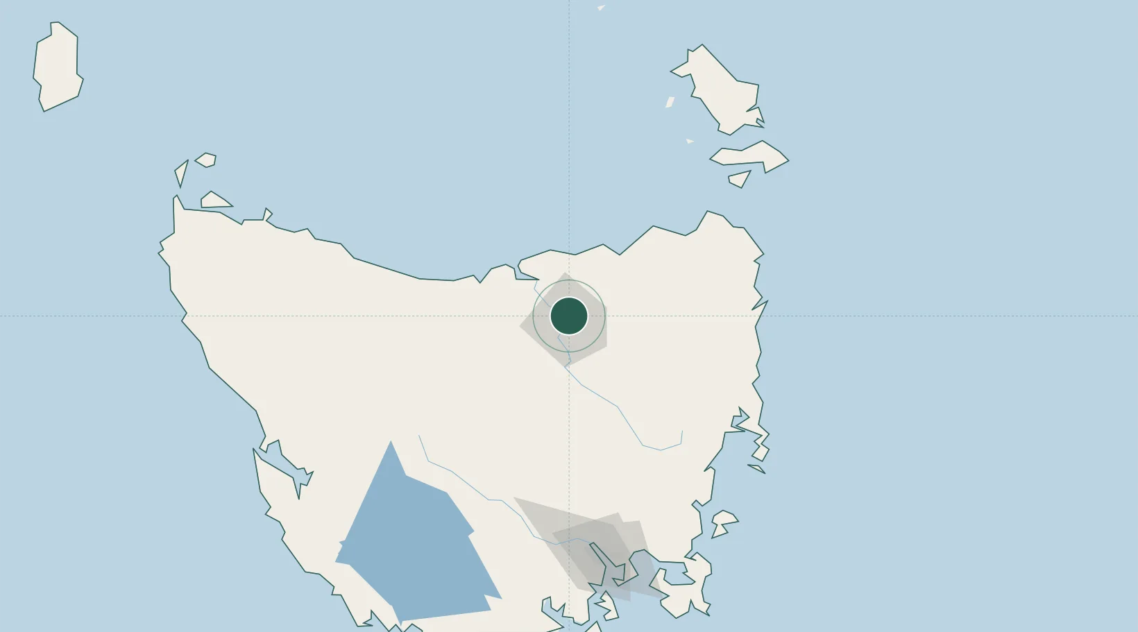
TAS
Location
Nearby Logistics Neighbours
Cities
- 1Mayfield0 km
- 2Newnham0 km
- 3Invermay4 km
- 4Launceston6 km
- 5Lalla15 km
Ports
- 1Launceston8 km
- 2Beauty Point37 km
- 3Port Dalrymple37 km
- 4Devonport68 km
- 5Burnie106 km
Airports
- 1Launceston Airport19 km
- 2Devonport Airport63 km
- 3Wynyard Airport125 km
- 4Flinders Island Airport161 km
- 5Hobart International Airport165 km
Trade Zones
DatabookThe Record of Consolidated Knowledge
Australia beyond logistics?