Transport Functions
Multimodal
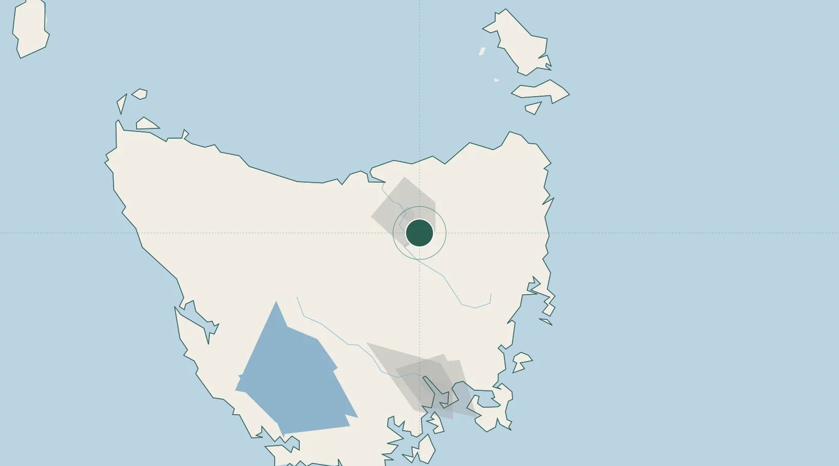
Hub Profile
Place type
Populated place
Region
Tasmania
Population
1,303
Time zone
Australia/Hobart
Elevation
177 m
Location
Nearby Logistics Neighbours
Cities
- 1Launceston18 km
- 2Invermay20 km
- 3Lilydale21 km
- 4Mayfield24 km
- 5Mowbray Heights24 km
Ports
- 1Launceston18 km
- 2Beauty Point59 km
- 3Port Dalrymple60 km
- 4Devonport85 km
- 5Burnie123 km
Airports
- 1Launceston Airport5 km
- 2Devonport Airport81 km
- 3Hobart International Airport141 km
- 4Wynyard Airport142 km
- 5Flinders Island Airport178 km
Trade Zones
DatabookThe Record of Consolidated Knowledge
Australia beyond logistics?