Transport Functions
Rail
Road
Hub Profile
Place type
Urban district
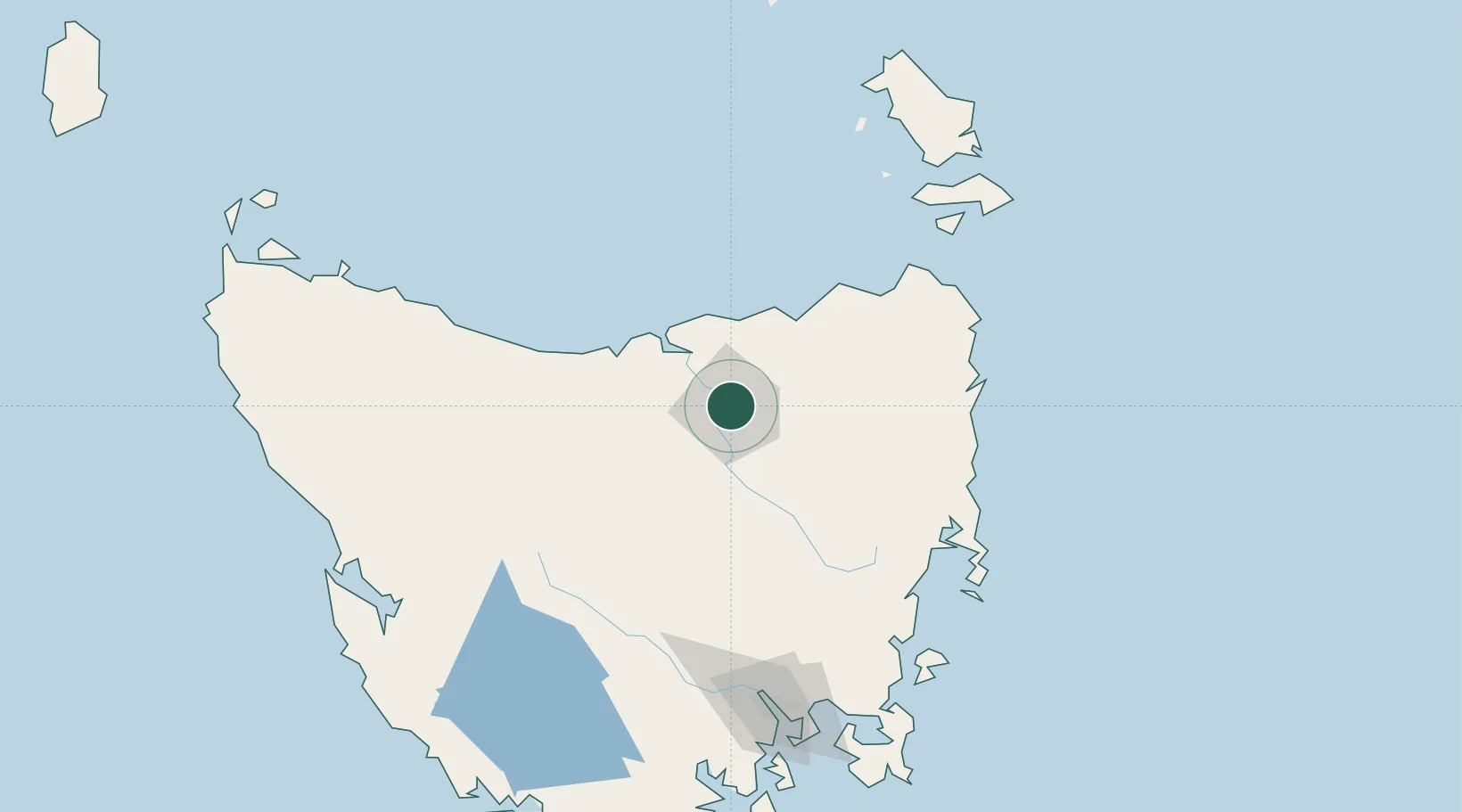
Region
Tasmania
Population
3,042
Time zone
Australia/Hobart
Elevation
6 m
Location
Nearby Logistics Neighbours
Cities
- 1Launceston2 km
- 2Mayfield4 km
- 3Mowbray Heights4 km
- 4Newnham4 km
- 5Lilydale18 km
Ports
- 1Launceston4 km
- 2Beauty Point40 km
- 3Port Dalrymple40 km
- 4Devonport69 km
- 5Burnie107 km
Airports
- 1Launceston Airport16 km
- 2Devonport Airport65 km
- 3Wynyard Airport127 km
- 4Hobart International Airport161 km
- 5Flinders Island Airport164 km
Trade Zones
DatabookThe Record of Consolidated Knowledge
Australia beyond logistics?