Medium airport · Australia
Kalgoorlie Boulder AirportYPKG
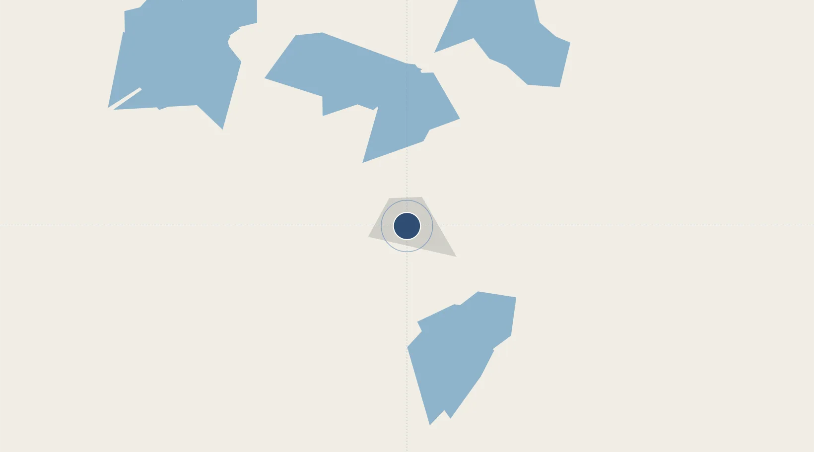
-30.7915°, 121.4646°
6,562 ft
Longest runway
2
Runways
1,203 ft
Elevation
Runway & Layout

Radio Frequencies
CTAF
126.6 MHz
FSS
122.1 MHz
MELBOURNE CNTR
UNIC
126.6 MHz
UNICOM AIR BP
Navaids
KG VOR-DME Kalgoorlie 114.10 MHz
KG NDB Kalgoorlie 287 kHz
Runways · 2
| Runway | Dimensions | Surface | True heading | Lit |
|---|---|---|---|---|
| 11/29 | 6,562 × 148ft | Asphalt | 110° | ✓ |
| 18/36 | 3,936 × 59ft | Asphalt | 185° | ✓ |
Airport Specifications
IATA code
KGI
ICAO code
YPKG
Airport class
Medium airport
Scheduled service
Yes
Runway surface
Asphalt
Served city
Broadwood
Location
Nearby Logistics Neighbours
Airports
- 1Leonora Airport213 km
- 2Laverton Airport259 km
- 3Esperance Airport323 km
- 4Leinster Airport336 km
- 5Gruyere Airport382 km
Cities
- 1Broadwood2 km
- 2Bonnie Vale27 km
- 3Coolgardie35 km
- 4Koolyanbobbing183 km
- 5Hyden307 km
Trade Zones
- 1Oecusse Ambeno Enclave Special Zone For Social Market Economy (Zeesm)2404 km
- 2KEK Mandalika2493 km
- 3Atauro Special Economic Zone2546 km
- 4KEK Singhasari2708 km
- 5Pasuruan Industrial Estate Rembang2730 km
DatabookThe Record of Consolidated Knowledge
Australia beyond logistics?