Medium airport · Australia
Leonora AirportYLEO
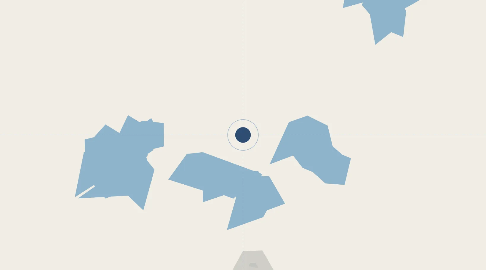
-28.8781°, 121.3150°
6,621 ft
Longest runway
2
Runways
1,217 ft
Elevation
Runway & Layout

Radio Frequencies
CTAF
126.8 MHz
FSS
118.4 MHz
MELBOURNE CNTR
Navaids
LEO NDB Leonora 377 kHz
Runways · 2
| Runway | Dimensions | Surface | True heading | Lit |
|---|---|---|---|---|
| 04/22 | 6,621 × 98ft | Asphalt | 037° | ✓ |
| 12/30 | 3,740 × 98ft | Gravel | 133° | ✓ |
Airport Specifications
IATA code
LNO
ICAO code
YLEO
Airport class
Medium airport
Scheduled service
Yes
Runway surface
Asphalt
Served city
Leonora
Location
Nearby Logistics Neighbours
Airports
- 1Laverton Airport113 km
- 2Leinster Airport130 km
- 3Mount Keith Airport192 km
- 4Kalgoorlie Boulder Airport213 km
- 5Gruyere Airport262 km
Cities
- 1Broadwood212 km
- 2Bonnie Vale218 km
- 3Coolgardie231 km
- 4Koolyanbobbing276 km
- 5Mount Magnet353 km
Trade Zones
- 1Oecusse Ambeno Enclave Special Zone For Social Market Economy (Zeesm)2196 km
- 2KEK Mandalika2283 km
- 3Atauro Special Economic Zone2340 km
- 4KEK Singhasari2505 km
- 5Pasuruan Industrial Estate Rembang2527 km
DatabookThe Record of Consolidated Knowledge
Australia beyond logistics?