Transport Functions
Rail
Road
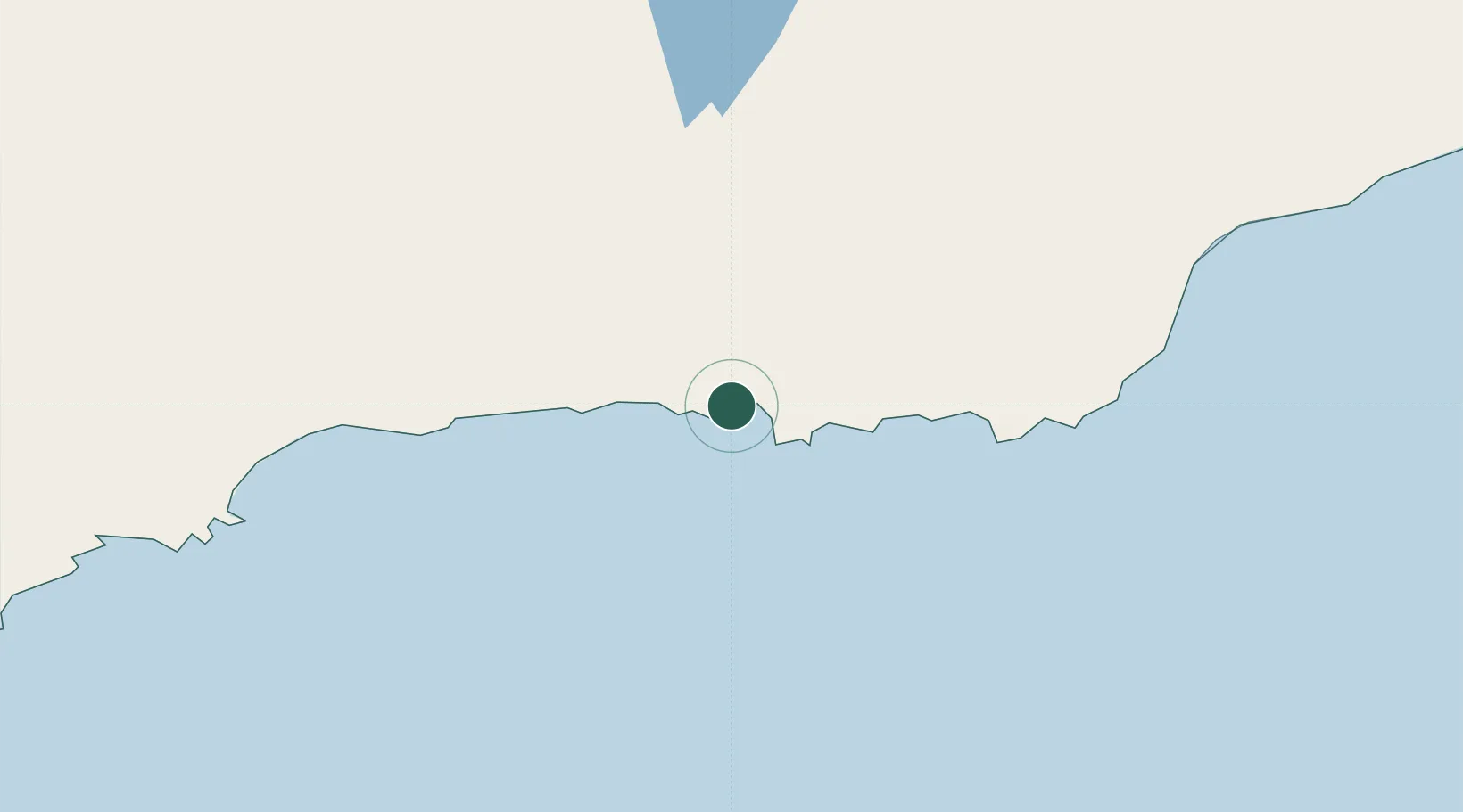
Hub Profile
Place type
Urban district
Region
Western Australia
Population
187
Time zone
Australia/Perth
Elevation
10 m
Location
Nearby Logistics Neighbours
Cities
- 1Esperance2 km
- 2Rocky Point198 km
- 3Bremer Bay240 km
- 4Hyden320 km
- 5Coolgardie328 km
Airports
- 1Esperance Airport18 km
- 2Kalgoorlie Boulder Airport341 km
- 3Albany Airport394 km
- 4Leonora Airport554 km
- 5Laverton Airport583 km
Trade Zones
- 1Latrobe Valley Economic Growth Zone2250 km
- 2Oecusse Ambeno Enclave Special Zone For Social Market Economy (Zeesm)2736 km
- 3KEK Mandalika2831 km
- 4Atauro Special Economic Zone2873 km
- 5KEK Singhasari3038 km
DatabookThe Record of Consolidated Knowledge
Australia beyond logistics?