UN/LOCODE hub · Australia
AUEPR
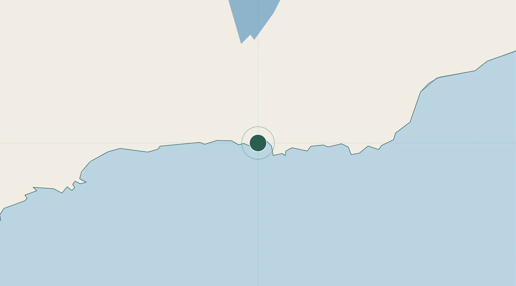
Esperance
-33.8505°, 121.8905°
13,883
Population
2
Transport functions
1
Container terminals
Transport Functions
Port
Airport
Hub Profile
Place type
Populated place
Region
Western Australia
Population
13,883
Time zone
Australia/Perth
Elevation
10 m
Logistics facilities
3
Container terminals
1
Location
Nearby Logistics Neighbours
Cities
- 1Chadwick2 km
- 2Rocky Point198 km
- 3Bremer Bay240 km
- 4Hyden322 km
- 5Coolgardie330 km
Airports
- 1Esperance Airport20 km
- 2Kalgoorlie Boulder Airport343 km
- 3Albany Airport394 km
- 4Leonora Airport556 km
- 5Laverton Airport585 km
Trade Zones
- 1Latrobe Valley Economic Growth Zone2249 km
- 2Oecusse Ambeno Enclave Special Zone For Social Market Economy (Zeesm)2737 km
- 3KEK Mandalika2833 km
- 4Atauro Special Economic Zone2875 km
- 5KEK Singhasari3040 km
DatabookThe Record of Consolidated Knowledge
Australia beyond logistics?