Transport Functions
Rail
Road
Hub Profile
Place type
Populated place
Region
Western Australia
Population
864
Time zone
Australia/Perth
Elevation
432 m
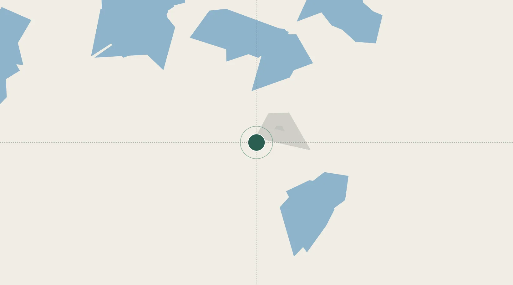
Location
Nearby Logistics Neighbours
Cities
- 1Bonnie Vale13 km
- 2Broadwood34 km
- 3Koolyanbobbing153 km
- 4Hyden273 km
- 5Merredin279 km
Airports
- 1Kalgoorlie Boulder Airport35 km
- 2Leonora Airport231 km
- 3Laverton Airport288 km
- 4Esperance Airport311 km
- 5Leinster Airport348 km
Trade Zones
- 1Oecusse Ambeno Enclave Special Zone For Social Market Economy (Zeesm)2426 km
- 2KEK Mandalika2503 km
- 3Atauro Special Economic Zone2569 km
- 4KEK Singhasari2713 km
- 5Pasuruan Industrial Estate Rembang2736 km
DatabookThe Record of Consolidated Knowledge
Australia beyond logistics?