UN/LOCODE hub · Argentina
ARSNS
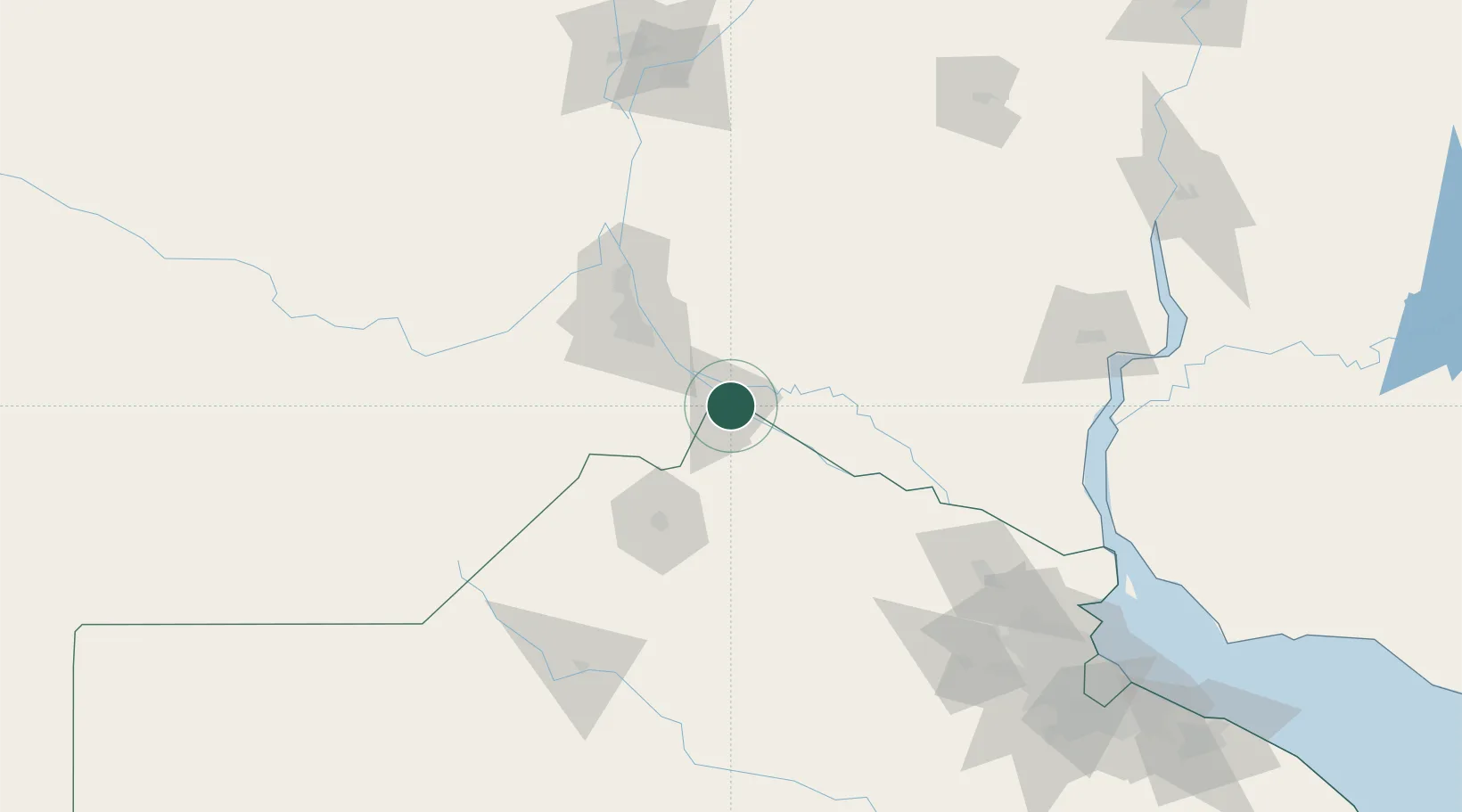
San Nicolás de los Arroyos
-33.3333°, -60.2333°
134,217
Population
4
Transport functions
Transport Functions
Port
Rail
Road
Airport
Hub Profile
Place type
Provincial seat
Region
Buenos Aires
Population
134,217
Time zone
America/Argentina/Buenos_Aires
Elevation
28 m
Location
Nearby Logistics Neighbours
Cities
- 1Ingeniero Buitrago10 km
- 2Villa Constitución15 km
- 3Arroyo Seco29 km
- 4Alvear51 km
- 5Rosario56 km
Ports
- 1Villa Constitucion15 km
- 2Ramallo26 km
- 3San Pedro48 km
- 4Rosario57 km
- 5San Lorenzo80 km
Airports
Trade Zones
- 1Nueva Palmira Free Zone179 km
- 2Zona Franca UPM186 km
- 3UPM Fray Bentos Free Zone186 km
- 4Zona Sur Buenos Aires216 km
- 5Montes de Plata Free Zone225 km
DatabookThe Record of Consolidated Knowledge
Argentina beyond logistics?