UN/LOCODE hub · Argentina
ARAVR

Alvear

-33.6667°, -60.6167°
1
Transport functions

Transport Functions

Multimodal
UN/LOCODE

Hub Profile

Place type
Populated place
GeoNames
Region
Santa Fe
GeoNames
Time zone
America/Argentina/Cordoba
GeoNames
Elevation
28 m
GeoNames

Location

Location of ARAVR
Natural Earth 10m (public domain) · Santa Fe · ARAVR · -33.67, -60.62GoogleOSMYandex

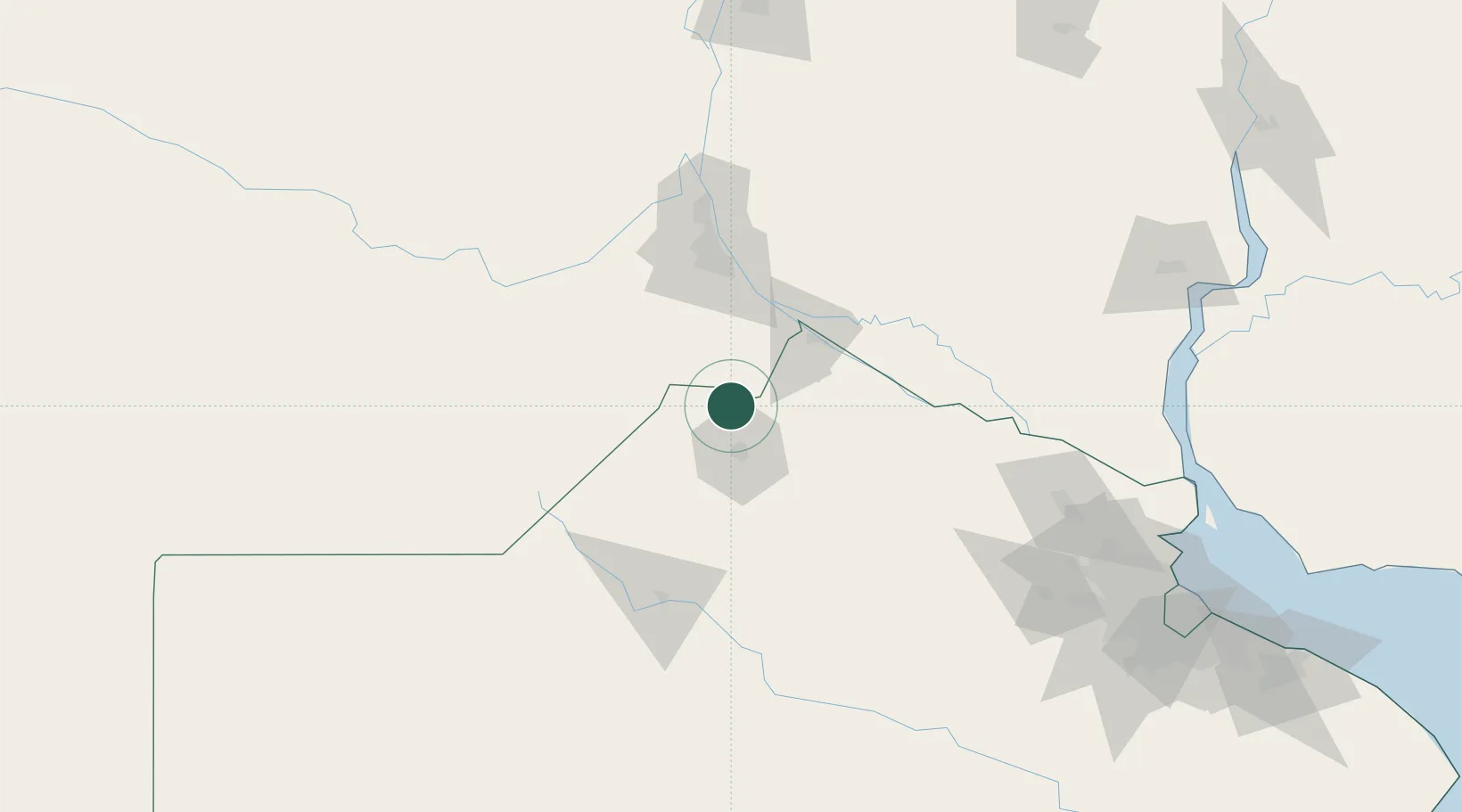
Nearby Logistics Neighbours

Cities
  1. 1Pergamino25 km
  2. 2San Nicolás de los Arroyos51 km
  3. 3Colón52 km
  4. 4Villa Constitución55 km
  5. 5Ingeniero Buitrago57 km
Nearest neighbours — logibook spatial index (haversine) over the source coordinates
Ports
  1. 1San Nicolas51 km
  2. 2Villa Constitucion55 km
  3. 3Ramallo59 km
  4. 4San Pedro75 km
  5. 5Rosario80 km
Nearest neighbours — logibook spatial index (haversine) over the source coordinates
Airports
  1. 1(Duplicate)Aeropuerto Pergamino26 km
  2. 2Rosario Islas Malvinas International Airport86 km
  3. 3Gualeguaychu Airport200 km
  4. 4San Fernando Airport206 km
  5. 5General Urquiza Airport209 km
Nearest neighbours — logibook spatial index (haversine) over the source coordinates
Trade Zones
  1. 1Nueva Palmira Free Zone205 km
  2. 2Zona Sur Buenos Aires223 km
  3. 3Zona Franca UPM227 km
  4. 4UPM Fray Bentos Free Zone228 km
  5. 5Montes de Plata Free Zone245 km
Nearest neighbours — logibook spatial index (haversine) over the source coordinates
DatabookThe Record of Consolidated Knowledge
Argentina beyond logistics?
Browse databook

All Sources

LocationsUN/LOCODE
UN/LOCODE — free
Portsthe NGA World Port Index
Public domain (US gov)
AirportsOurAirports
Public domain
Trade Zonesthe World Bank SEZ database
CC BY 4.0
Trade ZonesOpen Zone Map
CC BY
← Argentina locations