Medium airport · Argentina
Gualeguaychu AirportSAAG
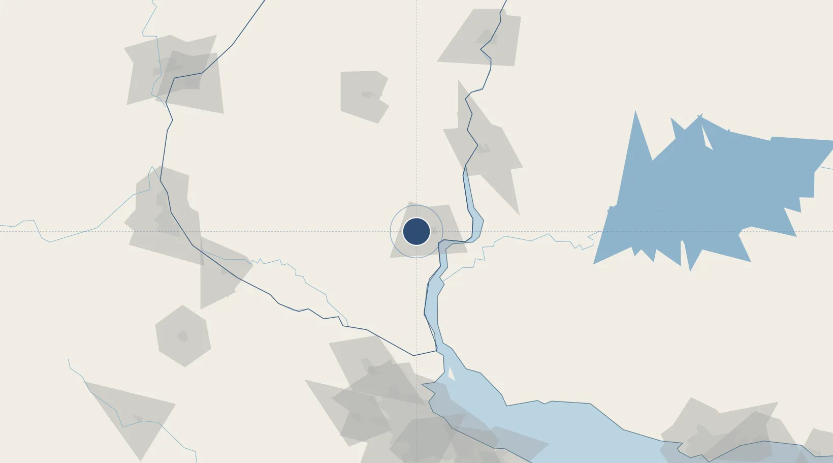
-33.0056°, -58.6128°
4,364 ft
Longest runway
2
Runways
75 ft
Elevation
Runway & Layout

Radio Frequencies
TWR
118.4 MHz
TWR/APP
Navaids
GUA VOR-DME Gualeguaychu 113.20 MHz
Runways · 2
| Runway | Dimensions | Surface | True heading | Lit |
|---|---|---|---|---|
| 1/19 | 4,364 × 98ft | Asphalt | 001° | ✓ |
| 03/21 | — | Unknown | — | — |
Airport Specifications
IATA code
GHU
ICAO code
SAAG
Airport class
Medium airport
Scheduled service
No
Runway surface
Asphalt
Served city
Gualeguaychu
Location
Nearby Logistics Neighbours
Airports
- 1Tydeo Larre Borges Airport88 km
- 2San Fernando Airport161 km
- 3Aeroparque Jorge Newbery174 km
- 4El Palomar Airport178 km
- 5Nueva Hesperides International Airport184 km
Cities
- 1Gualeguaychú9 km
- 2Urdurrain44 km
- 3Nuevo Berlin53 km
- 4Concepción del Uruguay68 km
- 5San Pedro91 km
Ports
- 1Fray Bentos30 km
- 2Concepcion Del Uruguay68 km
- 3Paysandu92 km
- 4Puerto Ibicuy98 km
- 5Colon99 km
Trade Zones
- 1Zona Franca UPM36 km
- 2UPM Fray Bentos Free Zone36 km
- 3Nueva Palmira Free Zone100 km
- 4Montes de Plata Free Zone145 km
- 5Colonia Free Zone178 km
DatabookThe Record of Consolidated Knowledge
Argentina beyond logistics?