Medium airport · Argentina

El Palomar AirportSADP
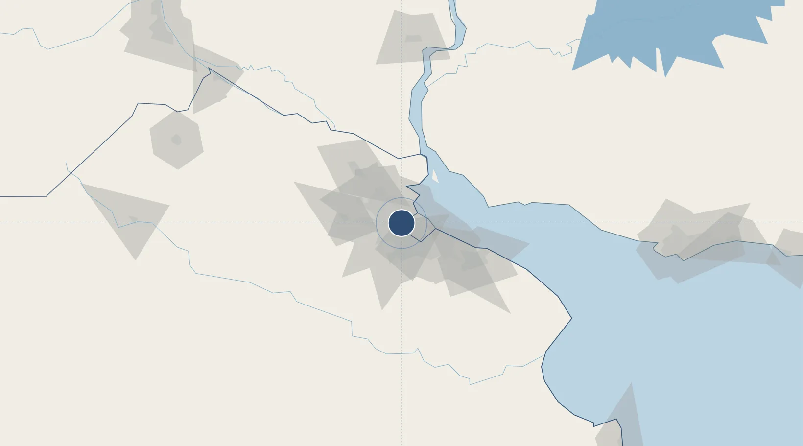
-34.6099°, -58.6126°
6,923 ft
Longest runway
1
Runways
59 ft
Elevation

Runway & Layout

El Palomar Airport runway & taxiway layout
Runway & taxiway layout — OpenStreetMap (ODbL) / OurAirports

Radio Frequencies

TWR
118.9 MHz
PALOMAR TWR
OurAirports

Navaids

PAL VOR-DME El Palomar 115.20 MHz
OurAirports

Runways · 1

RunwayDimensions SurfaceTrue headingLit
17/35 6,923 × 147ft Concrete 165°
OurAirports

Airport Specifications

IATA code
EPA
OurAirports
ICAO code
SADP
OurAirports
Airport class
Medium airport
OurAirports
Scheduled service
No
OurAirports
Runway surface
Concrete
OurAirports
Served city
El Palomar
OurAirports

Location

Location of SADP
Natural Earth 10m (public domain) · Buenos Aires · SADP · -34.61, -58.61GoogleOSMYandex

Nearby Logistics Neighbours

Airports
  1. 1San Fernando Airport18 km
  2. 2Aeroparque Jorge Newbery19 km
  3. 3Ezeiza International Airport - Ministro Pistarini25 km
  4. 4La Plata Airport77 km
  5. 5Gualeguaychu Airport178 km
Nearest neighbours — logibook spatial index (haversine) over the source coordinates
Cities
  1. 1Villa Bosch5 km
  2. 2Caseros7 km
  3. 3San Justo9 km
  4. 4Pablo Podestá9 km
  5. 5Mataderos12 km
Nearest neighbours — logibook spatial index (haversine) over the source coordinates
Ports
  1. 1Buenos Aires23 km
  2. 2Campana61 km
  3. 3Zarate70 km
  4. 4La Plata71 km
  5. 5Colonia72 km
Nearest neighbours — logibook spatial index (haversine) over the source coordinates
Trade Zones
  1. 1Zona Sur Buenos Aires11 km
  2. 2Montes de Plata Free Zone67 km
  3. 3La Plata Free Trade Zone70 km
  4. 4Colonia Free Zone73 km
  5. 5Nueva Palmira Free Zone82 km
Nearest neighbours — logibook spatial index (haversine) over the source coordinates
DatabookThe Record of Consolidated Knowledge
Argentina beyond logistics?
Browse databook

All Sources

AirportsOurAirports
Public domain
Portsthe NGA World Port Index
Public domain (US gov)
LocationsUN/LOCODE
UN/LOCODE — free
Trade Zonesthe World Bank SEZ database
CC BY 4.0
Trade ZonesOpen Zone Map
CC BY
InfrastructureOpenStreetMap
ODbL 1.0
← Argentina airports